Regional natural park of Luberon, Pictures and Video
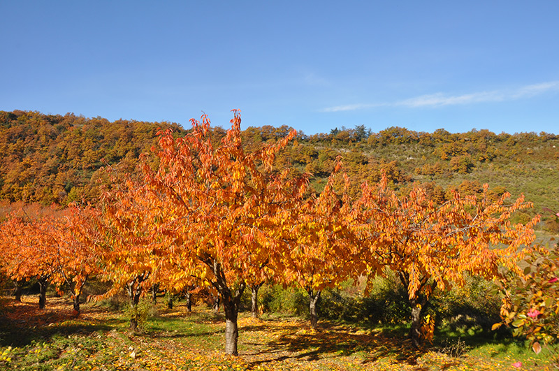
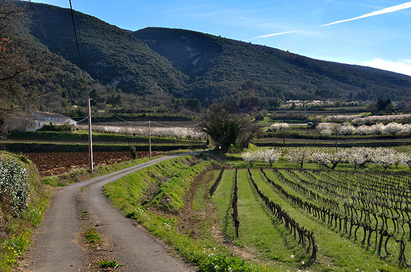
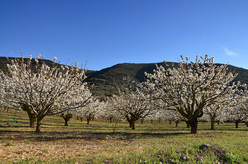
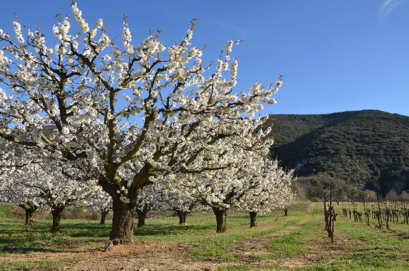
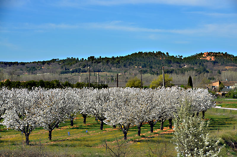
Galleries Photos, landscapes and colors of the Luberon

Voir la vidéo
Voir Toutes Les GaleriesLe Vaucluse, le Parc Naturel Régional du Luberon
At the heart of the old center of Apt, the Maison du Parc du Luberon welcomes you in a mansion of the eighteenth century.
The permanent exhibition of Geology Museum presents a rich collection of fossils showing the geological history of the Luberon.
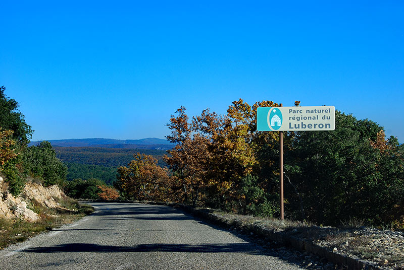
The current territory of ParcNaturel has 77 municipalities of Vaucluse and the Alpes de Hautes Provence adherent (185,000 hectares, 170,000 inhabitants).
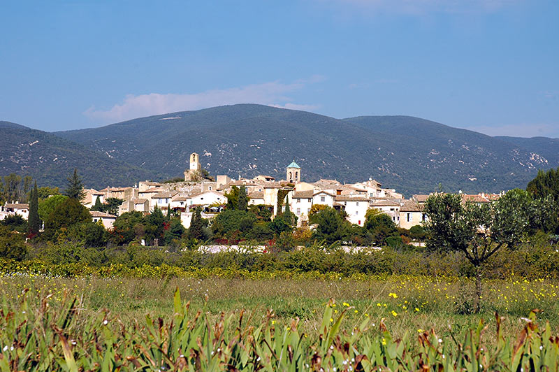
All villages of the Parc Naturel régional du Vaucluse :
Ansouis - Apt - La Bastide-Des-Jourdans - La Bastidonne - Beaumettes - Beaumont-de-Pertuis - Bonnieux - Buoux - Cabrières-d'Aigues - Cabrières-d'Avignon - Cadenet - Caseneuve - Cavaillon - Cheval-Blanc - Cucuron - Gargas - Gordes - Goult - Grambois - Joucas - Lacoste - Lagarde-d'Apt - Lauris - Lioux - Lourmarin - Maubec - Ménerbes - Mérindol - Mirabeau - Murs - Oppède - Pertuis - Peypin-d'Aigues - Puget - Puyvert - Robion - Roussillon - Rustrel - Saignon - Saint-Martin-de-Castillon - Saint-Martin-de-la-Brasque - Saint-Pantaléon - Saint-Saturnin-lès-Apt- Sannes - les Taillades - La Tour-d'Aigues - Viens - Villars - Villelaure
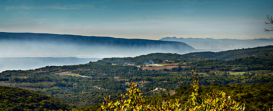
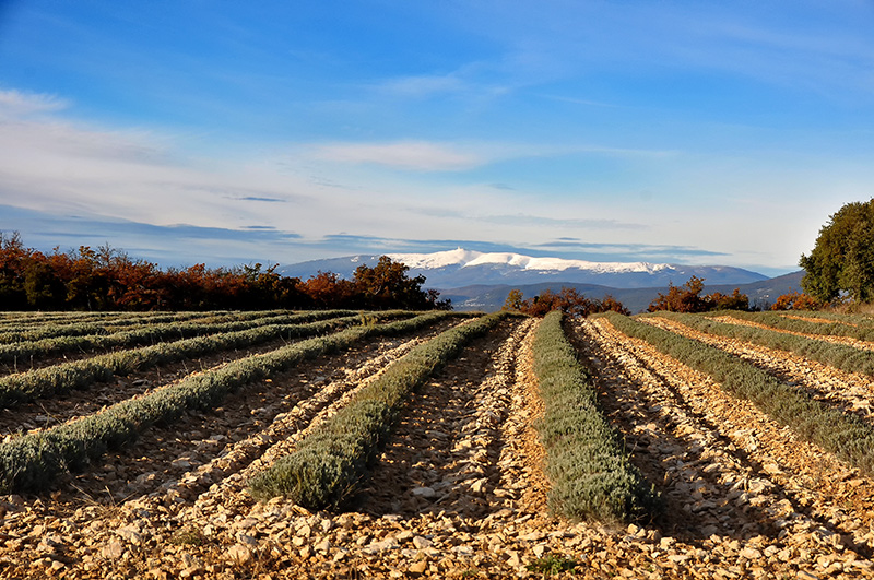
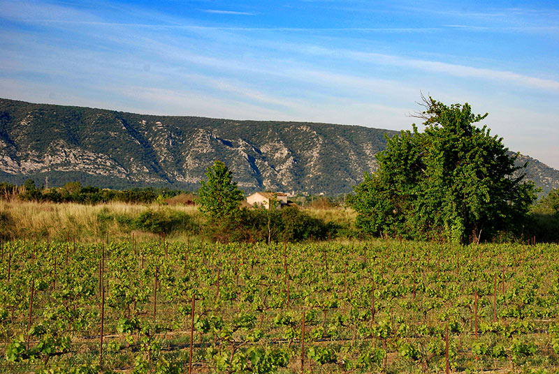
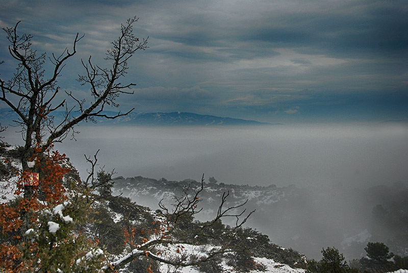
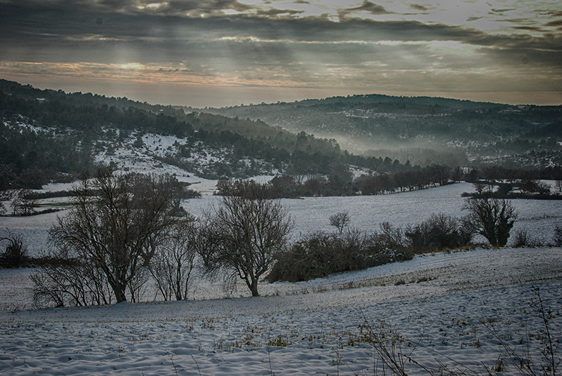
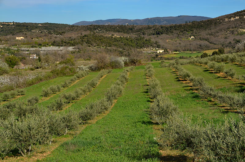
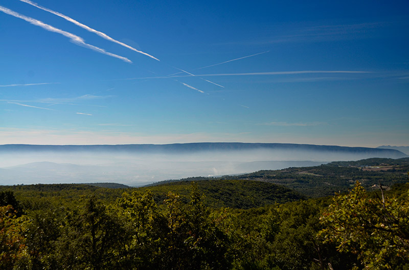
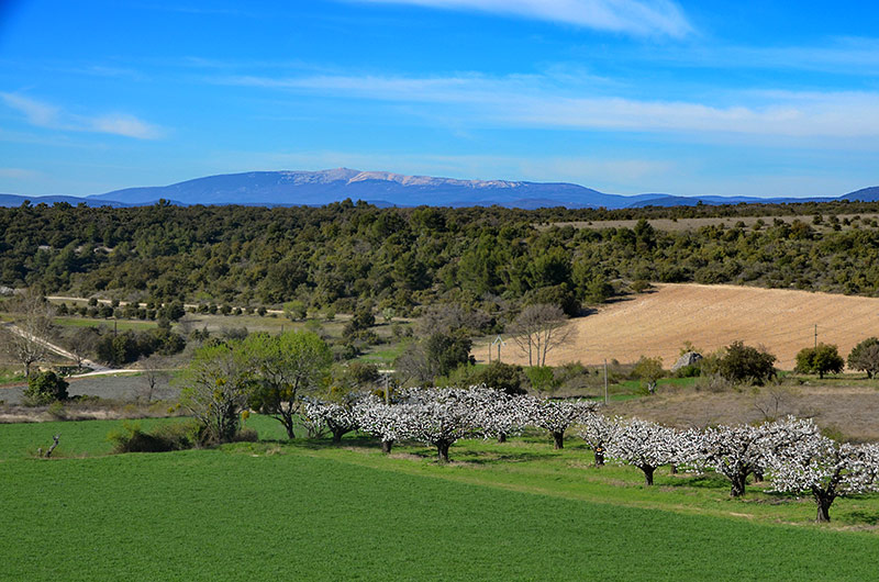
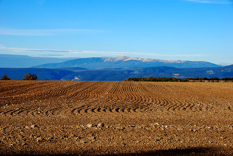
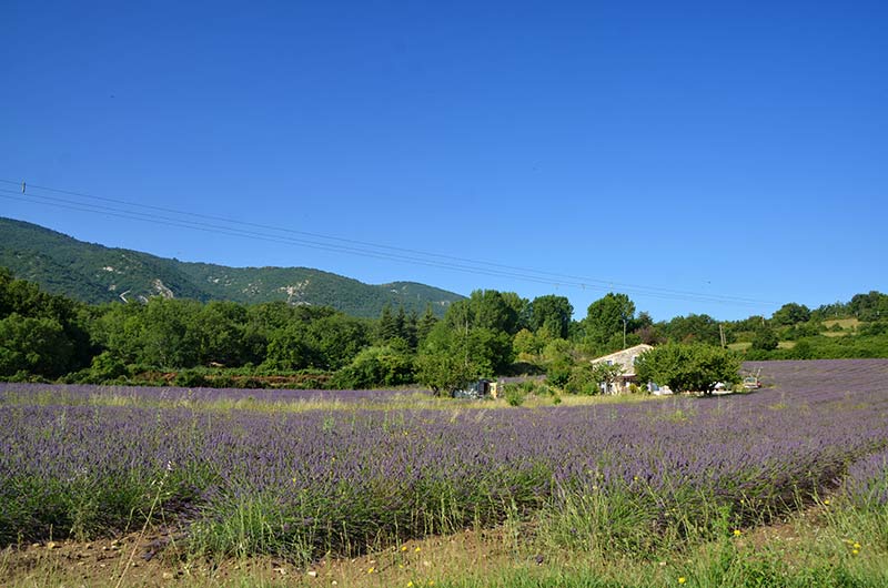
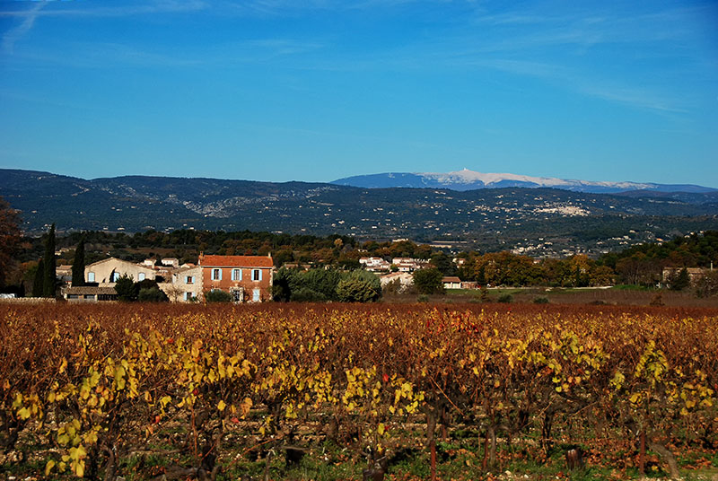
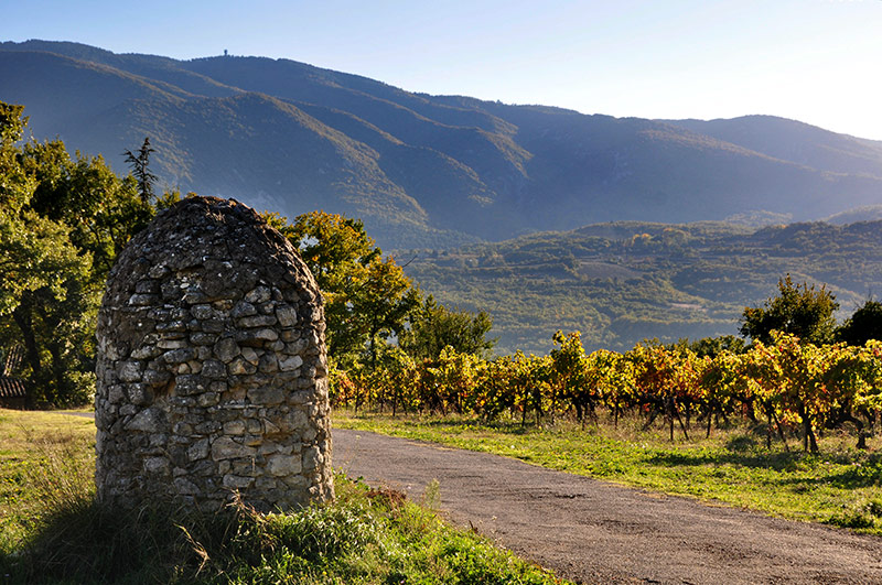
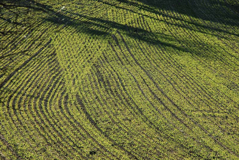
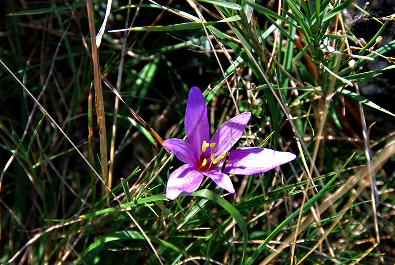
he variety of landscapes of the Luberon proviens diverse natural environments and an ancient human presence: agricultural lands, often perched villages, dry stone terraces of cultures their differences in climatic conditions, exposure, soil, altitude help the variety and richness of the natural environment of the Luberon and the existence of exceptional biodiversity:
1,500 species of plants (30% of the French flora), 135 birds (50%), 2,300 butterflies (40%).
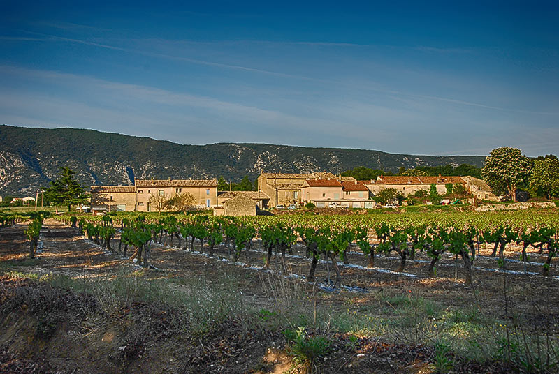
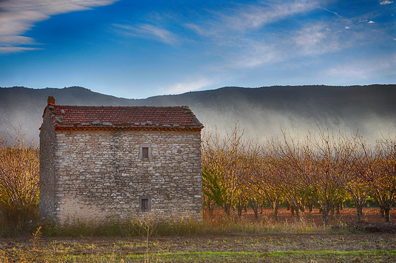
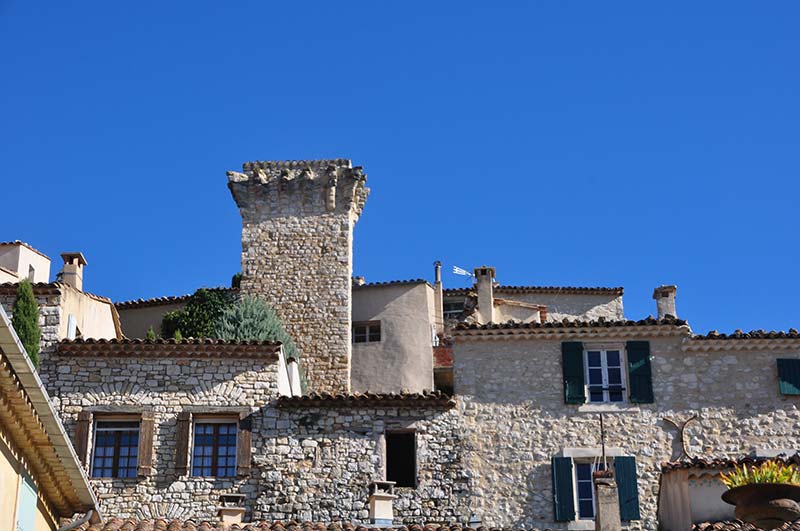
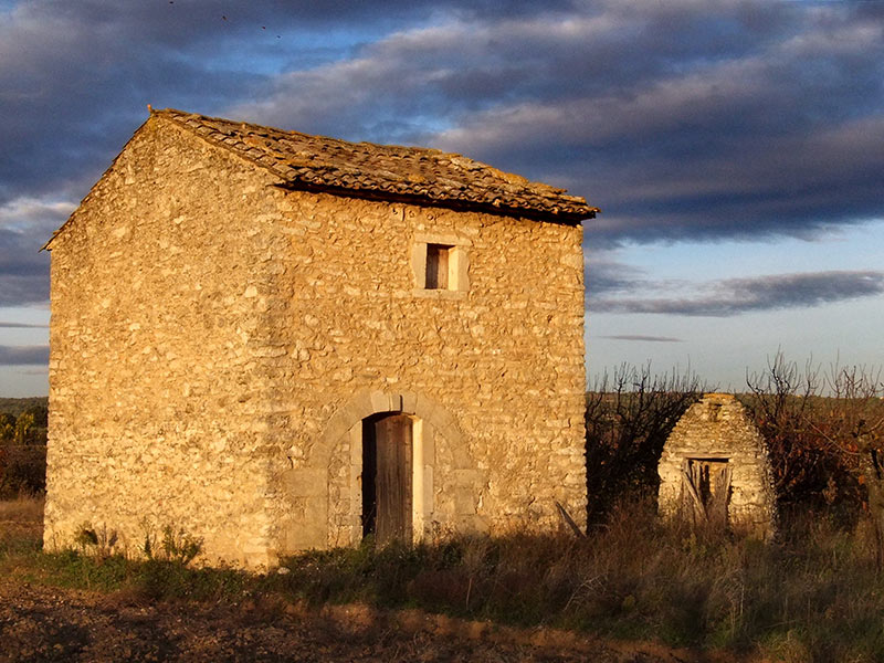
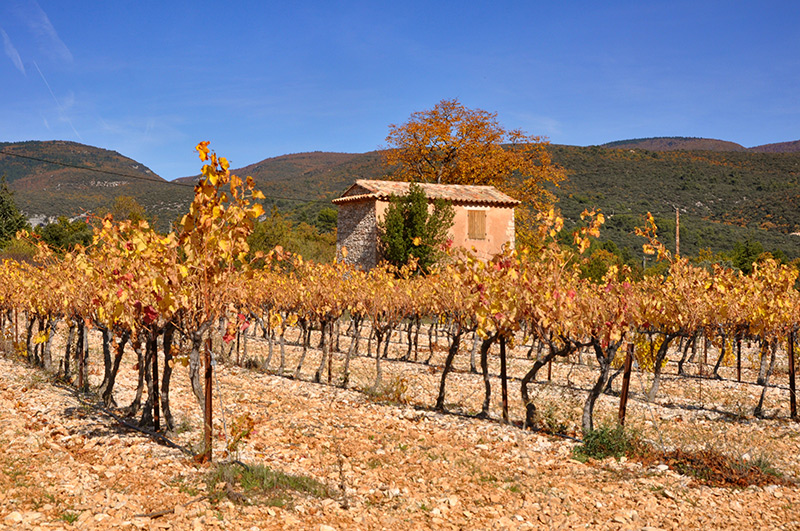
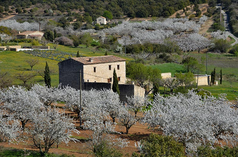
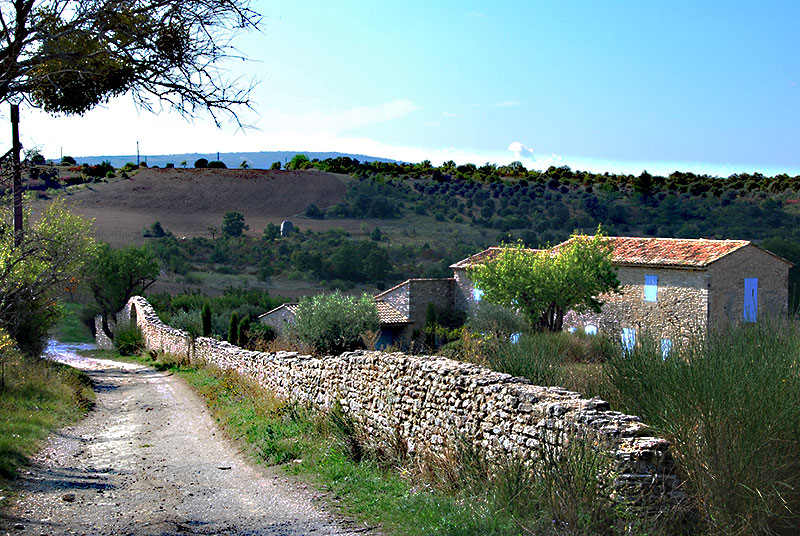
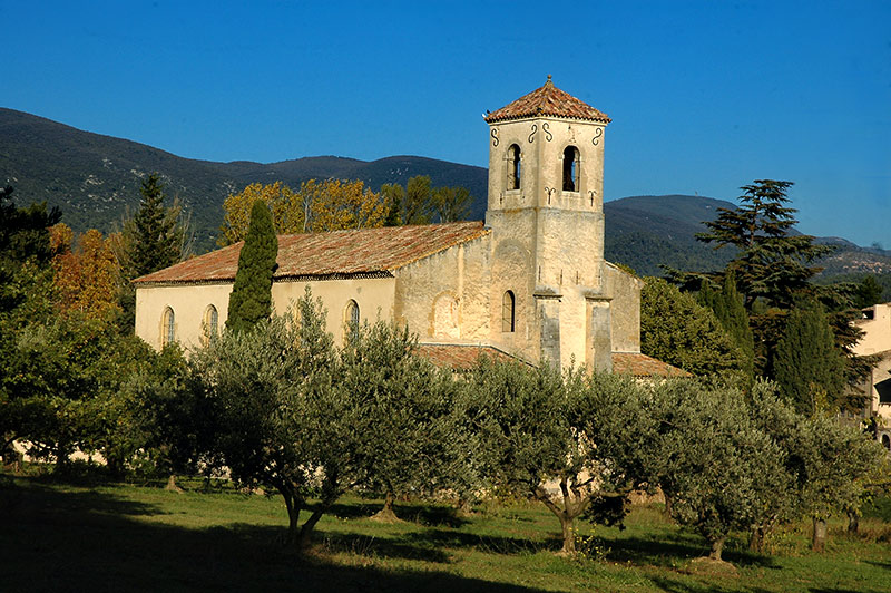
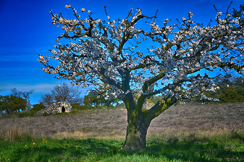
The sites and monuments bear witness to a human presence since the Neolithic: Buoux Fort , the Pont Julien in Bonnieux, fortifications, palaces, religious buildings ... Today habitat, grouped (villages, hamlets) or insulated ( Farmhouse, country houses) is the subject of special attention on the part of the regional park and architectural advice.
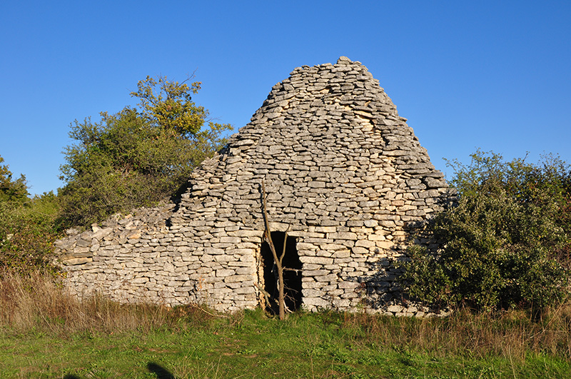
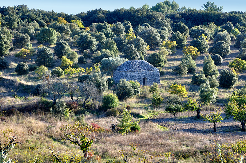
the Luberon architecturedu uses dry stone and comes in Bories, walls and terraces of cultures see the concervatoire of terrace cultivation of Goult .Finally, Heritage says countries (mills, laundries, ovens, churches ...) benefits from restoration programs led by Park on behalf of municipalities or their associations.
See Mills of Saint Saturnin les Apt or Goult , Village des Bories, Gordes ,Bories The enclosure Bonnieux , Bories of Claparèdes tray or "cabins" of Fontaine de Vaucluse
The Landscapes of the Luberon:
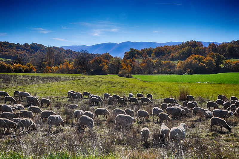
Lawns peaks of the Grand Luberon are Constituted low and crawling plants, resulting from the action of cattle, but also adaptation to climate constraints. wind, dry summer and low winter temperatures. Consist of low and crawling plants, with a profusion of flowers in spring that turns these places where natural garden erupt unrestrained certain orchids, like the male orchid or orchid of Bertolon (protected species). Broom of theVillars adaptation model in the middle, this dwarf species of broom wind resistant ridges.
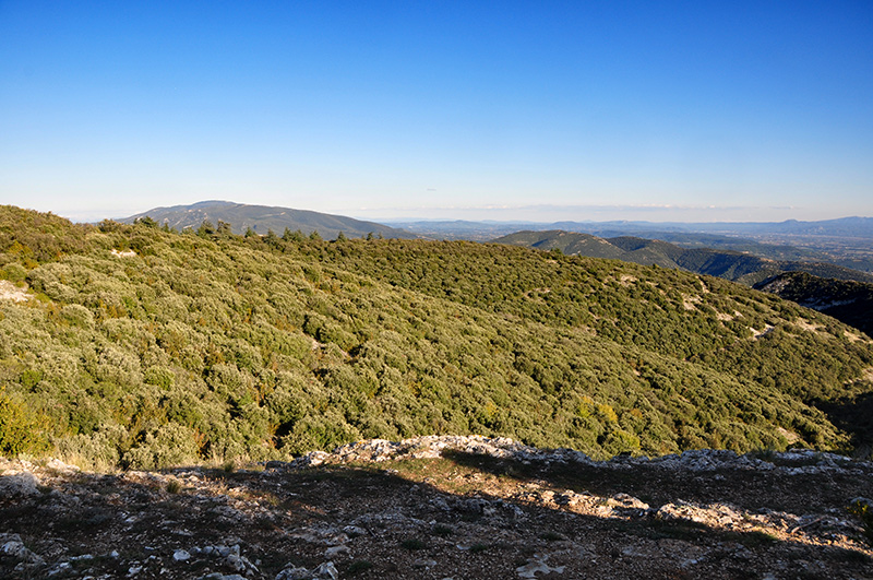
La Garrigue
La Garrigue is a bushy formation composed of shrubs and herbaceous plants, located in the Mediterranean on limestone rocky. On the southern slopes of the Luberon, the alternation of furniture and compacted soils soils defines two types of scrubland, one dominated by the Kermes oak, the other by rosemary. Apparently austere and monotonous, they reveal the spring while a profusion of animals and plants, including some of the rarest species ecologically.
the white oak woods and green oak:
white oak dominates on the northern slopes, he likes the freshness and soil profonds.Adapté drought and poor soils, green oak pleases on the southern slopes oak .... white "roure" in Provençal unlike the oak loses its leaves in winter, after the leaves fall or are taking colors from yellow to brown. The brightness of its glades explains the abundant flora that develops. The intensive exploitation of oak forest in the last centuries (charcoal, heating, construction ...) and soil erosion have certainly led to its substitution by the oak.
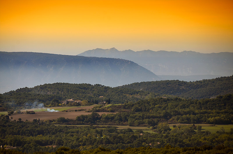
The cliffs and gorges of the Luberon (see Gorges Régalon southern slopes of the Luberon) http://www.altituderando.com/Les-Gorges-de-Regalon-Parc-Naturel
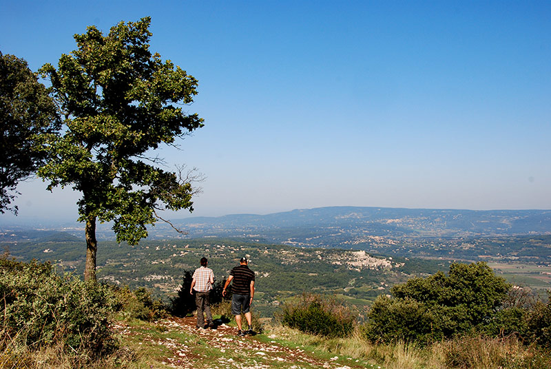
The varied terrain Luberon is a sign of a rich and turbulent geological history, readable in the numerous rocky outcrops. These rock facies have spectacular forms: steep cliffs, canyons, caves, rocky outcrops or boulders, discovered rides of discretion in this arid landscape, kingdom of birds of prey. Le Petit Luberon in Combe has Buoux view photo gallery
Le Petit Luberon
Culmine to 727 m and is crowned by a line of rounded crests which survive thanks to the ancestral grazing of Endangered lawns. Encourage the presence of herds is therefore part of ongoing actions to preserve this environment.
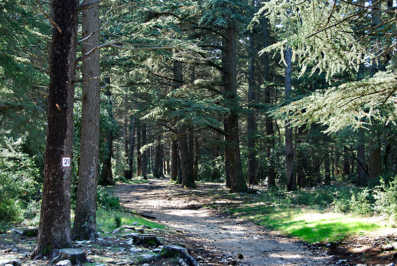
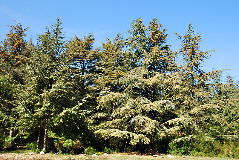
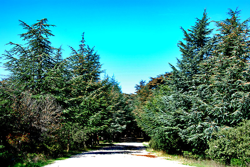
To the east, a cedar forest was established on the apical ridges. Much more steep, the north slope contrasts with the southern slope more hilly and interspersed with cliffs and gorges. Dominant 400m Durance, the craus (limestone plateaus grazed) occupy an arid surface low scrubland. see gallery south side of the Luberon Photos Val de Durance.
A karst system, under the action of rainwater and seepage, the limestone rocks by dissolution, are widening a network of cracks and galleries. The water circulates and feeds some sources, permanent or temporary, in the foothills of the massif. There are lawns endangered and east, a beautiful Cedra see the Foret des Cêdres overlooking the villages of Bonnieux , OF Oppède the Old and Lacoste
Monuments:
The Aigues country retains several major buildings open to the public, including the castles of Lourmarin, in La Tour-d'Aigues and Ansouis .Designed in the Middle Ages, they were redeveloped extensively in the Renaissance and underwent over the centuries many changes in order to stay up to date.
Lourmarin The present castle consists of two nested body building connected by a high square tower: the Old Castle, built in the course of the fifteenth century and the New Castle, built in the following century, and influenced by the architecture of the Val Loire. The castle is in ruins when Robert Laurent-Vibert Lyonnais bought it in 1920. He renovated the building, which then becomes a foundation for artists, always active.
La Tour-d'Aigues Destroyed by fire in 1792, the castle was previously the look that is shown below. Built in the sixteenth century, the building was very inspired by that of Ecouen in Île-de-France.
The "farmers markets" of the Luberon,
on its Marchès offer farmers, in direct sales, product exploitation, freshness, quality and expertise
Tuesday morning: Apt (all year)
Wednesday morning: Pertuis (all year)
Thursday morning: La Tour-d'Aigues (July-August) Thursday afternoon: Forcalquier (all year)
Saturday morning: Cadenet (May-November) Pertuis (all year), Pierrerue (all year)
Saturday afternoon: Lauris (May to December)
Sunday morning: Coustellet (April to November), Saint-Martin-de-la Brasque (April to November)
The conservatory garden of color plants, to Lauris ( 84) The garden, landscape architected over several centuries, is an awareness of the challenges of space projects of the association for research and development of vegetable colors, a cultural space, educational and tourism.
More Iconography and books about books Luberon
Tour du Luberon by bike - Ed Chamina - 2006 North Provence MTB guide for families and beginners - VTOPO - 2006 ATV Guide Provence north to insiders - VTOPO - 2006 North Provence ATV Guide for experts - VTOPO - 2006 Nature walk in the park Luberon Regional Nature - Ed Dakota -. 2007 What in the Luberon Regional Park? - Ed Dakota - 2004 Luberon Regional Park
- Traveler's Encyclopedia - Ed Gallimard
- 1996 Bories Luberon - Edisud - 1992
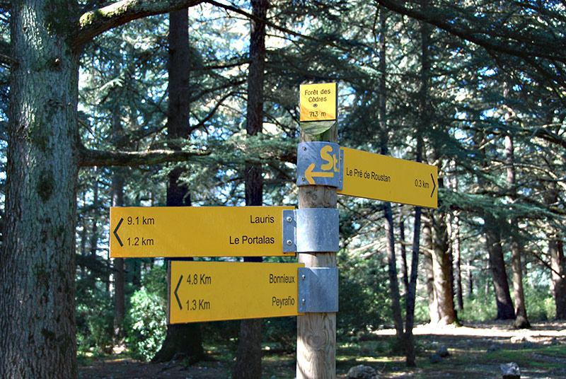
The Luberon walk to discover the hidden treasures of the territory, it is best to leave your vehicle, tying your shoes and go wander one of the many trails! A half-day, star or roaming, offering walks and hikes in the Luberon Regional Park relies on a network of over 1,000 km of marked trails.
The books published by the Alps of Light and the Regional Natural Park of Luberon.
"Land of Haute-Provence in the Luberon Lure Mountain" No. 132- ADRI / The Alps of Light Topo Guide PR
- The Alpes de Haute Provence ADRI / FFRP No. D004 "Lavender -
Travel Blue Country "Jean Paul BONNEFOY Ed. Bartholomew.
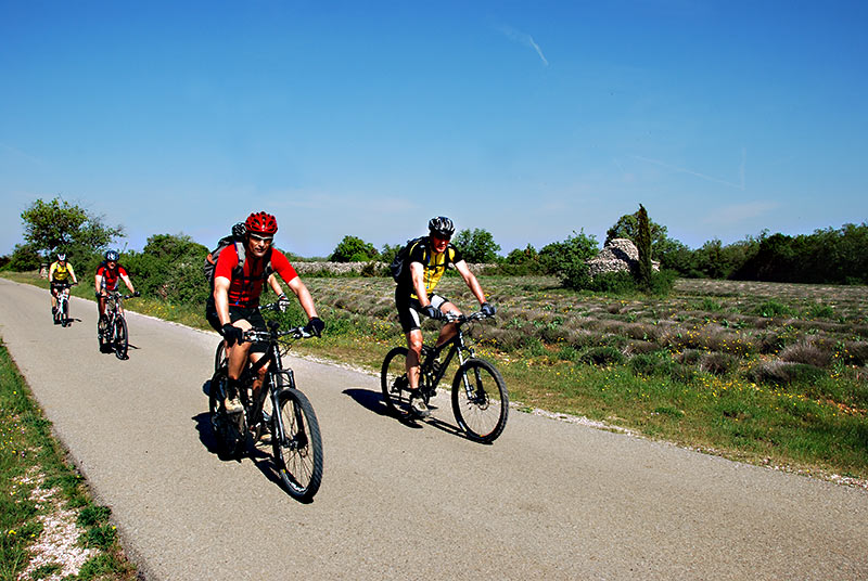
The Greenway cycle route Calavon - 28 km http://www.veloloisirluberon.com
Vaucluse Tourism Committee: 33 (0) 4 90 80 47 00 - Website