Le Vaucluse,Natural place, Lioux Luberon,Vaucluse
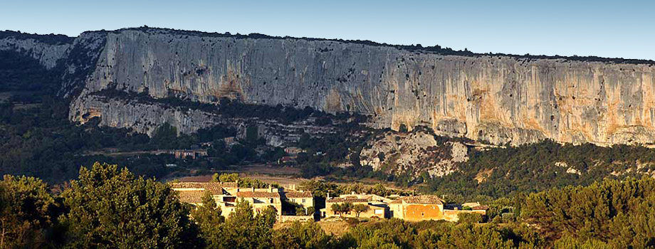
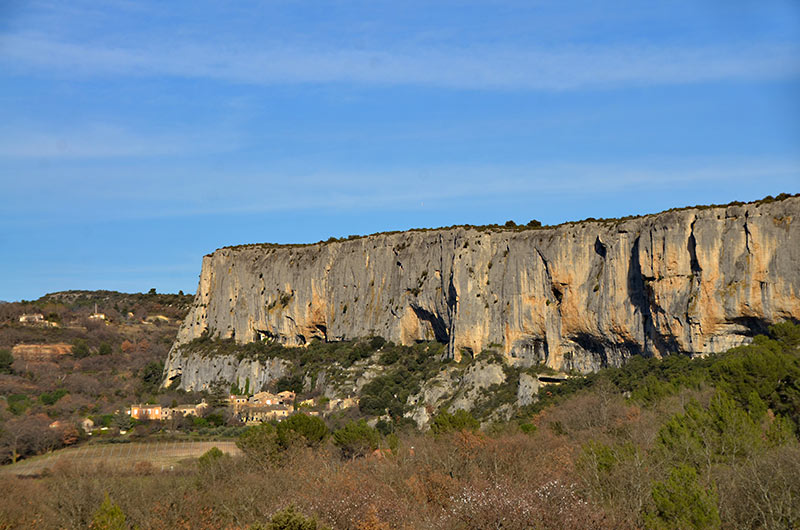
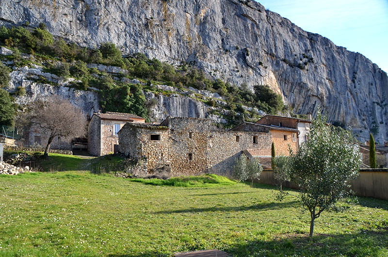
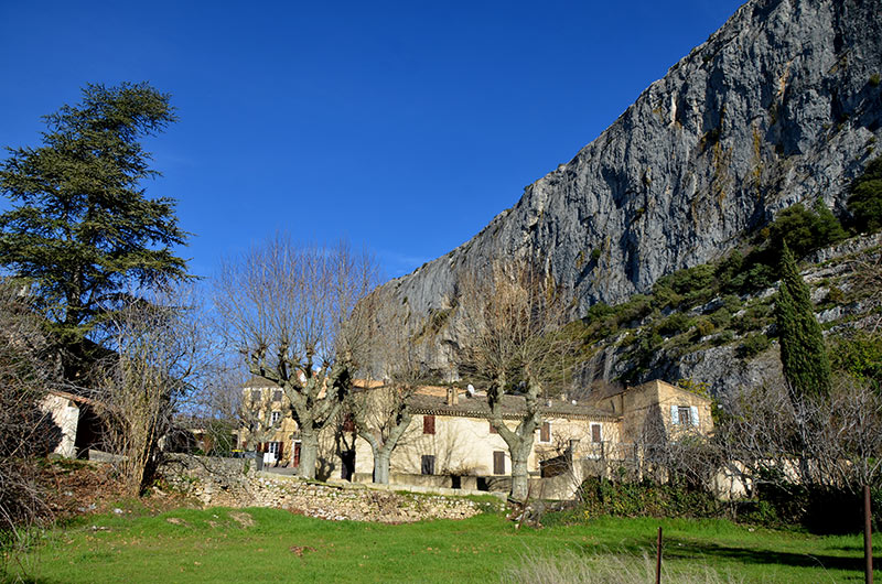
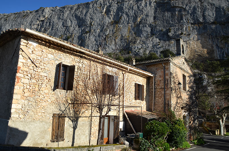
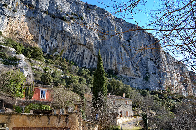
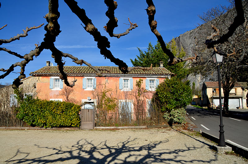
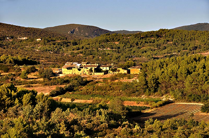
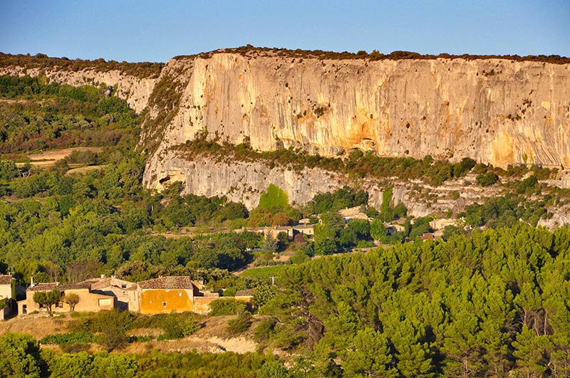
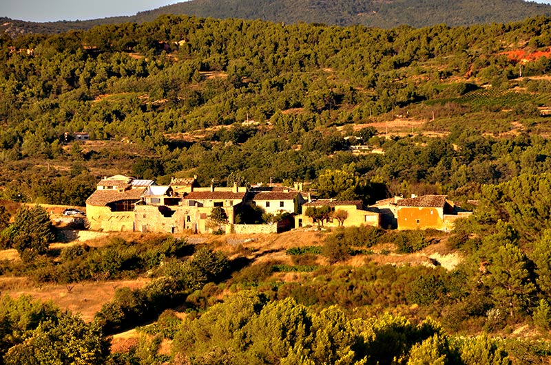
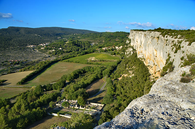
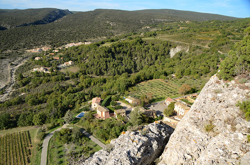
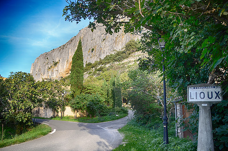
Lioux, Village and the cliff of Madeleine
5 km northwest of Apt by the N100, D604 and D4
Nearby villages : Murs 7 km , Roussillon8 km ,St Saturnin les Apt11 km. Joucas 6 km Gargas8 km, Goult 11 kmMéthamis 11 km Villars 14 km Gordes 12 km Saint-Pantaléon 12 km Lacoste 13 km Apt 14 km Bonnieux 21 kmVilles-sur-Auzon15 km
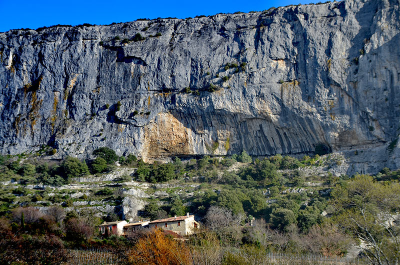
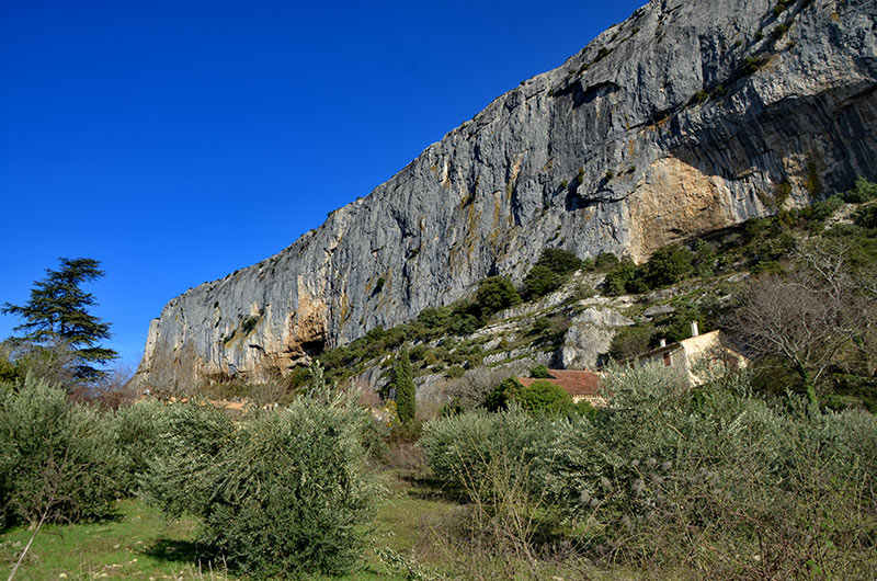
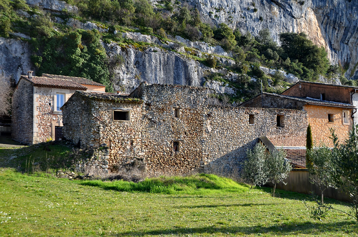
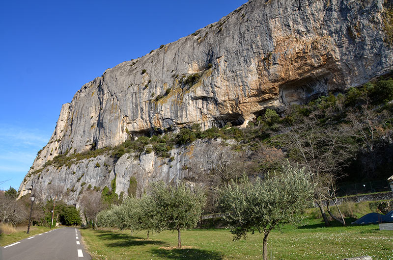
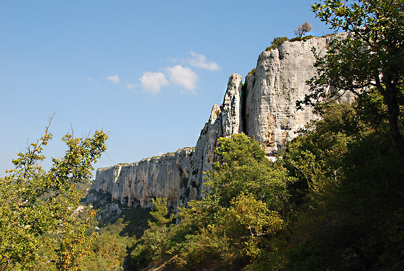
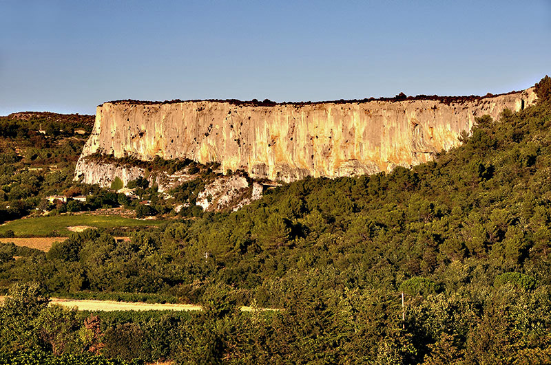
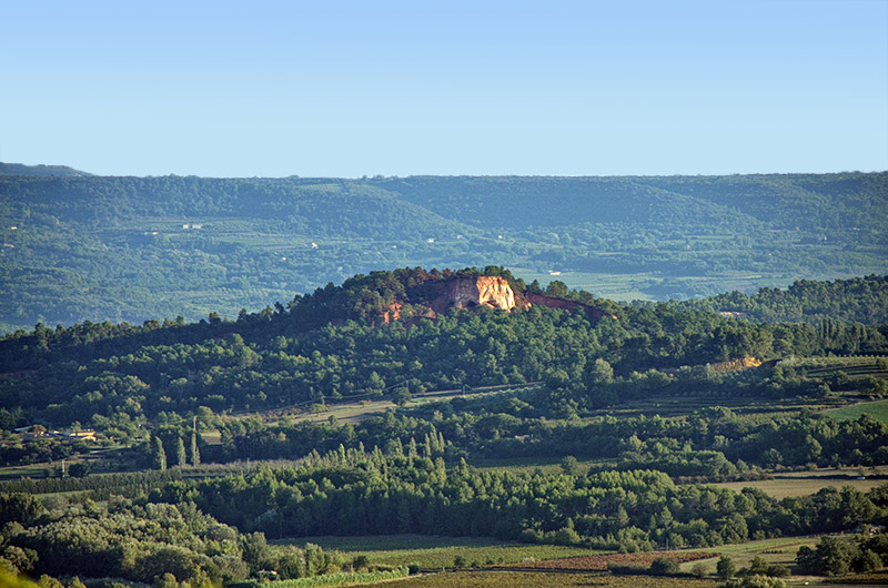
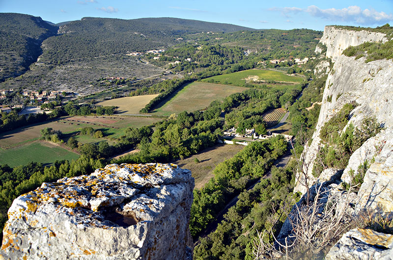
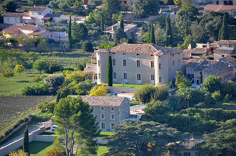
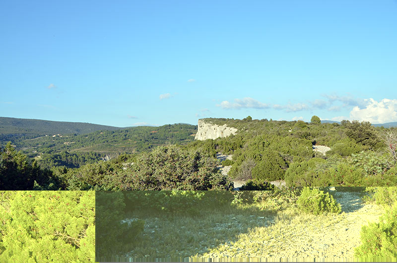
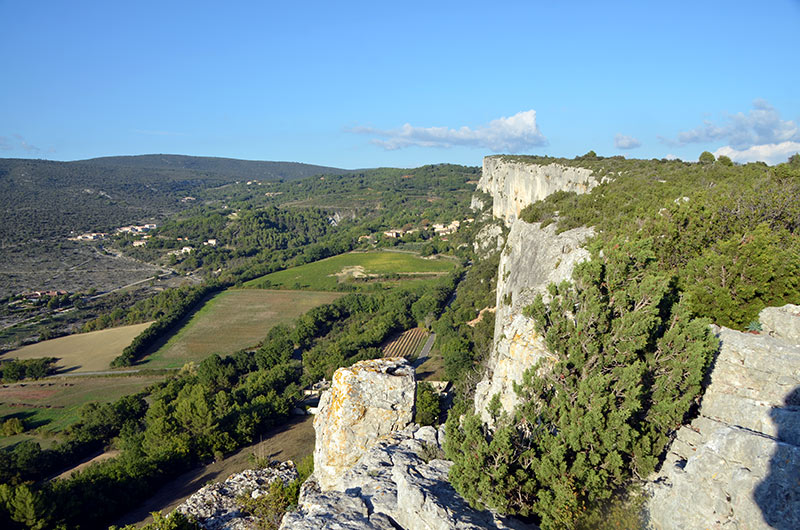
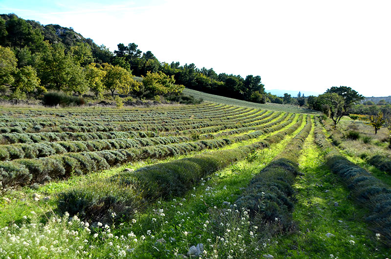
Lioux is a small village north of Apt and at the foot of the Monts de Vaucluse South trays. The village is part of the perimeter of the Luberon Regional Park .The village is at the foot of the "cliff Madeleine" (oriented north-east / south-west).
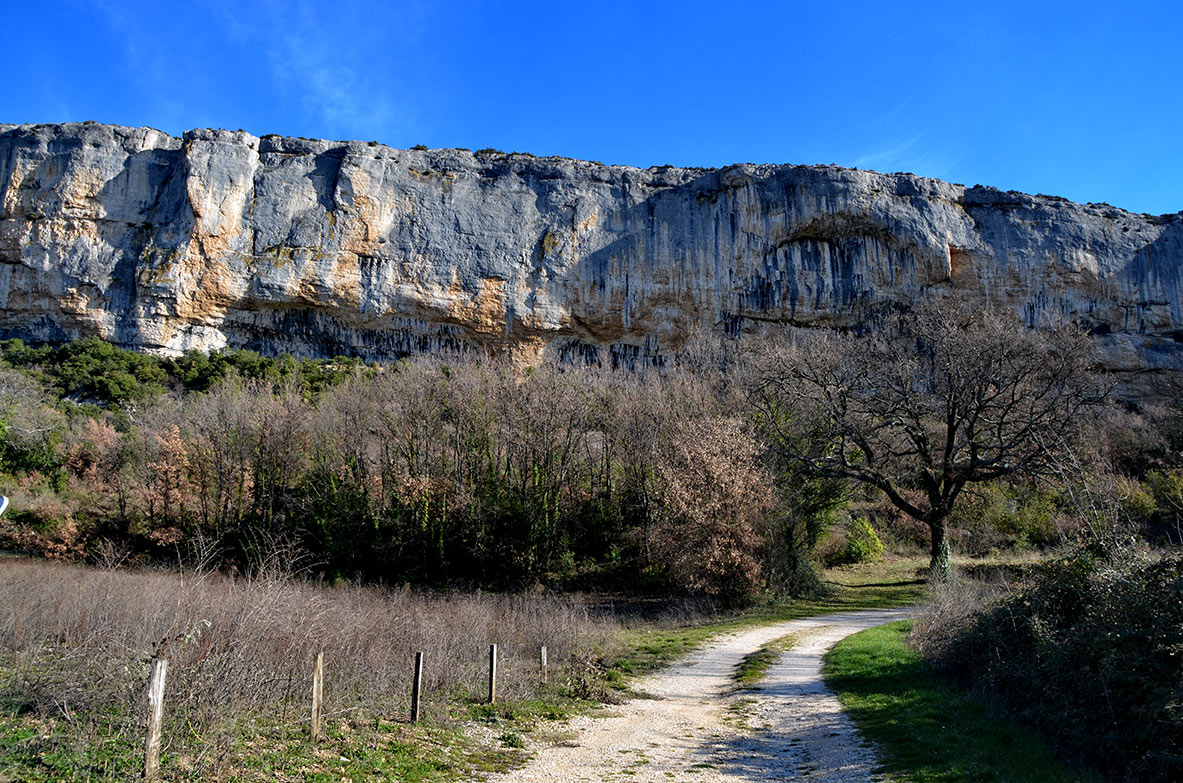
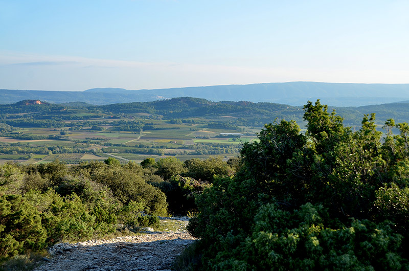
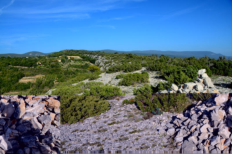
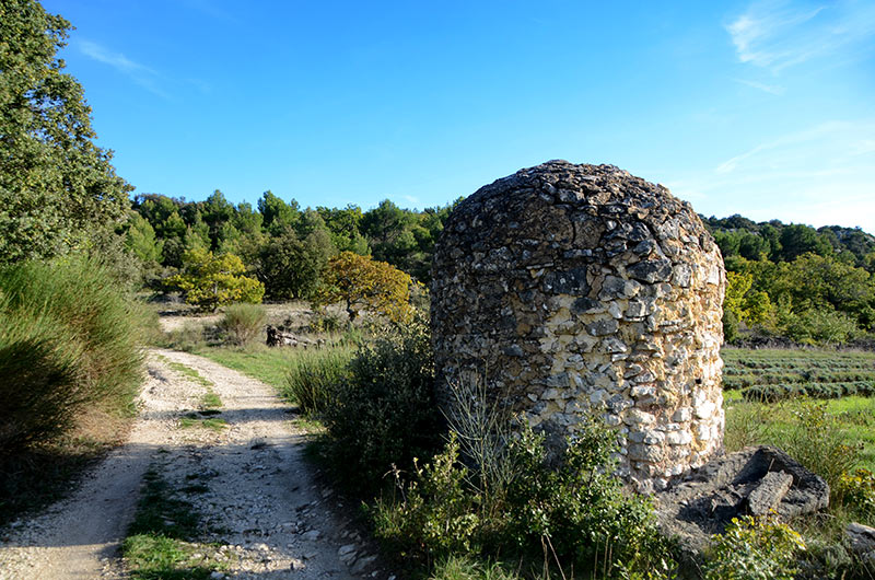
The commune's territory is characterized by a strong undulating forests and woods between which ruisseaux spawn a passage in the valleys (the Cigaliere, Vaumale, etc.).
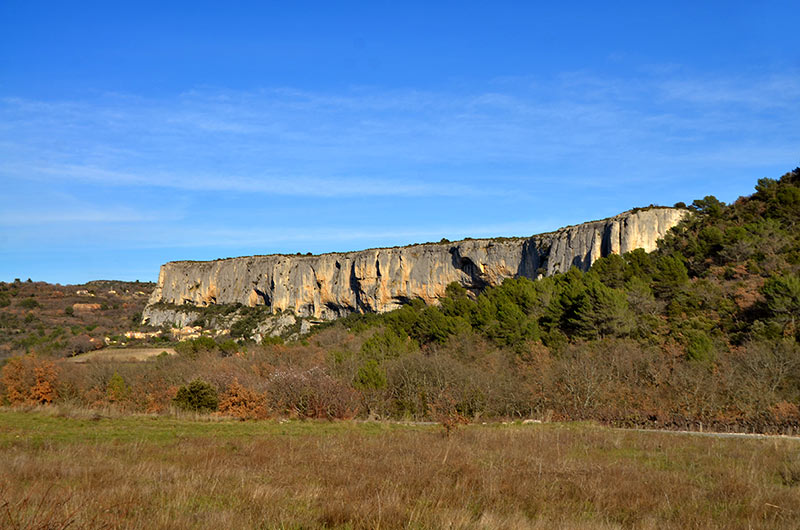
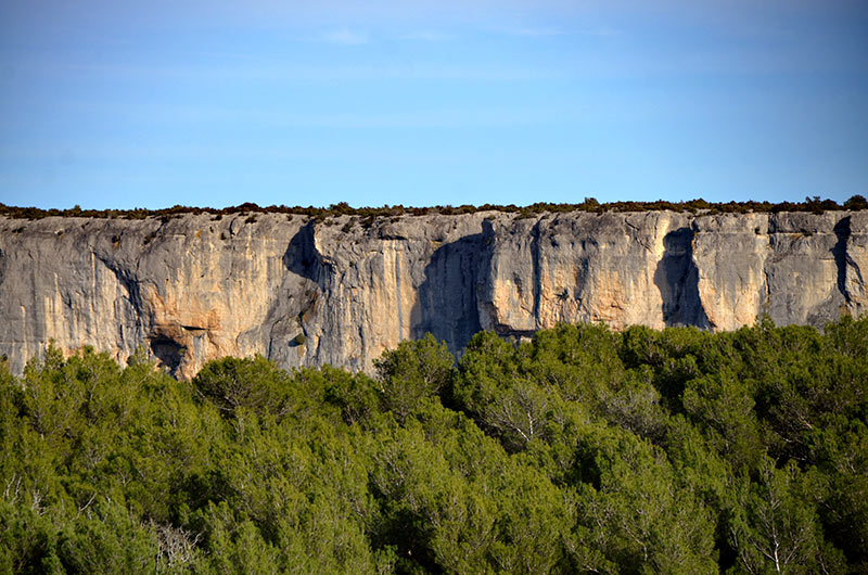
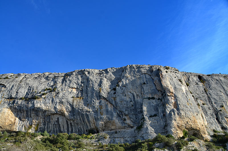
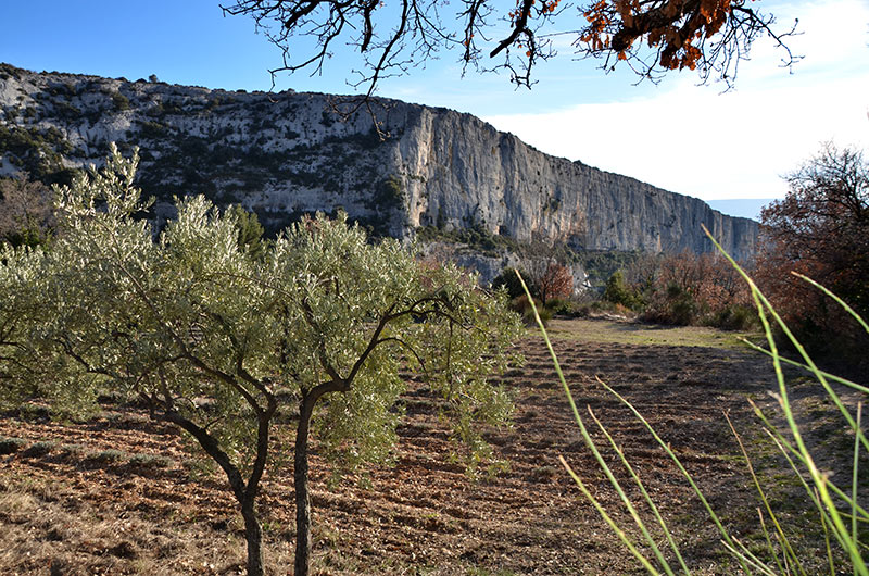
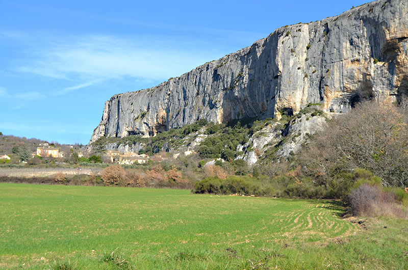
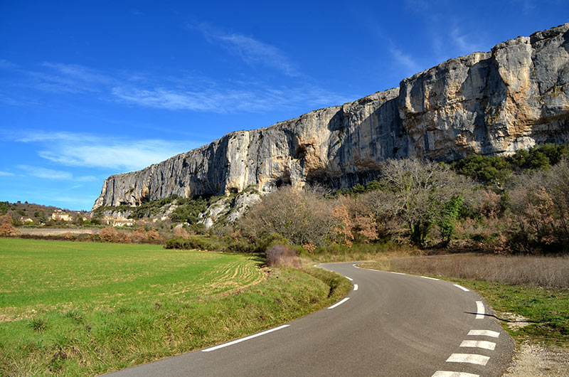
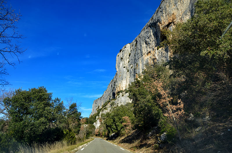
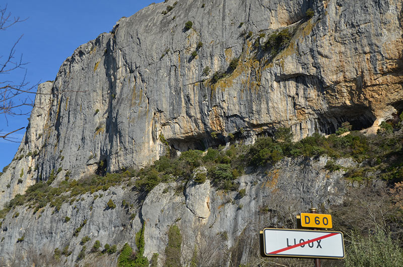
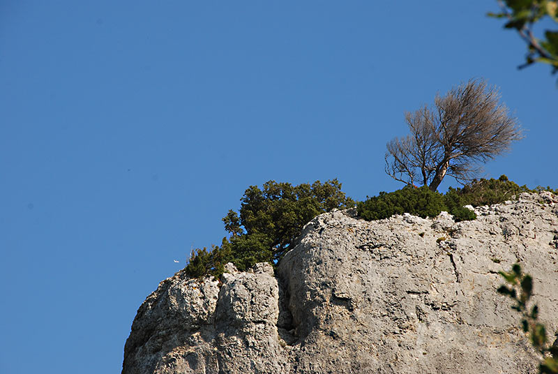
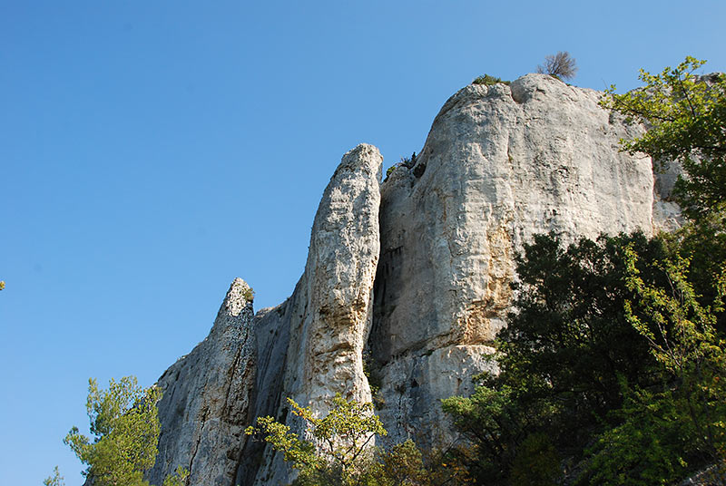
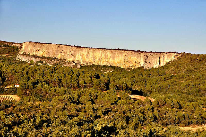
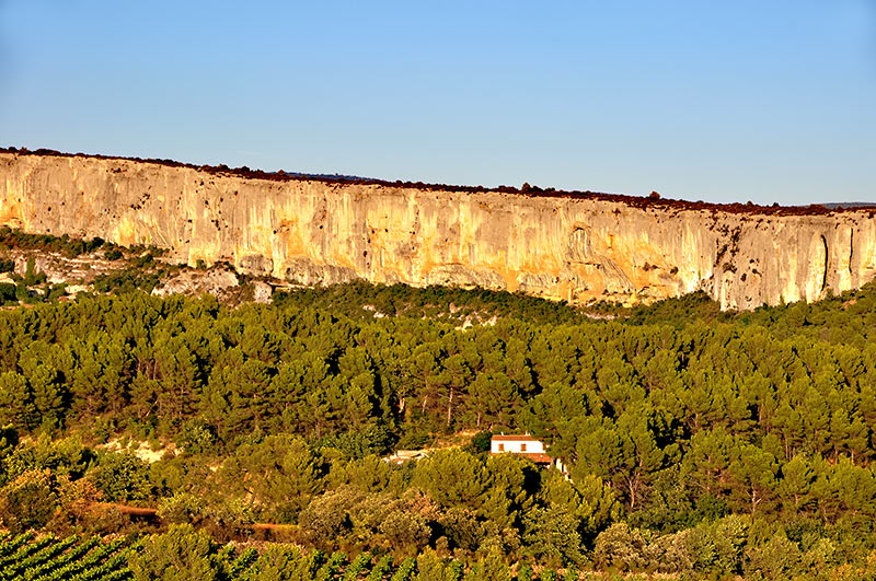
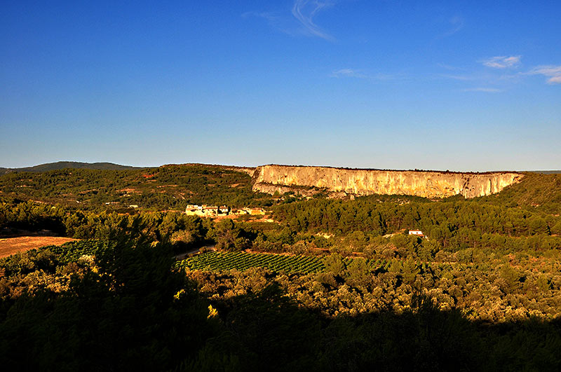
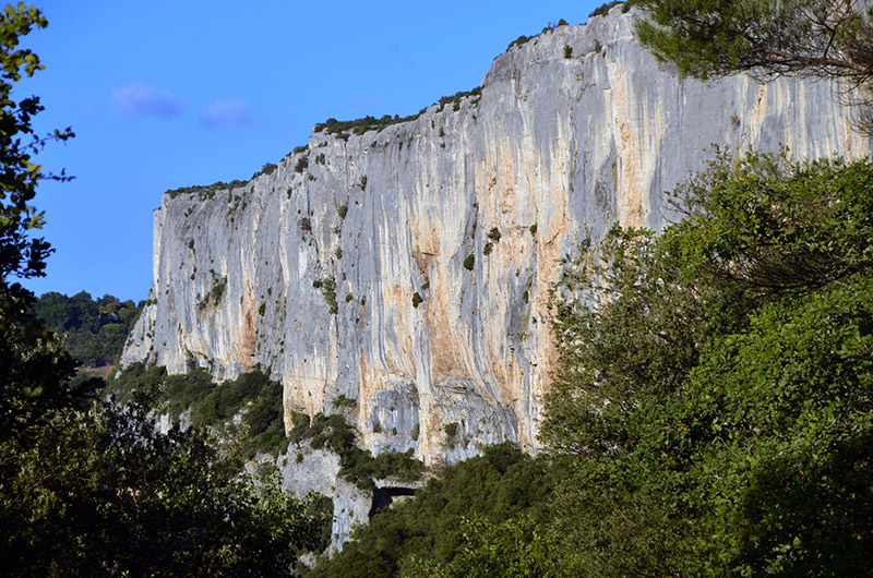
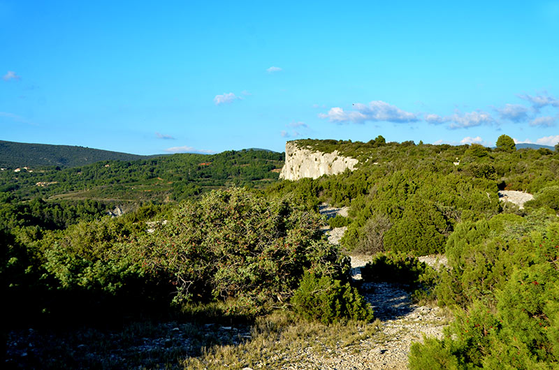
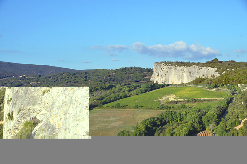
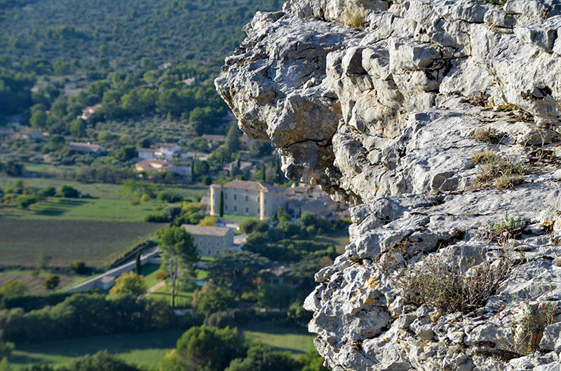
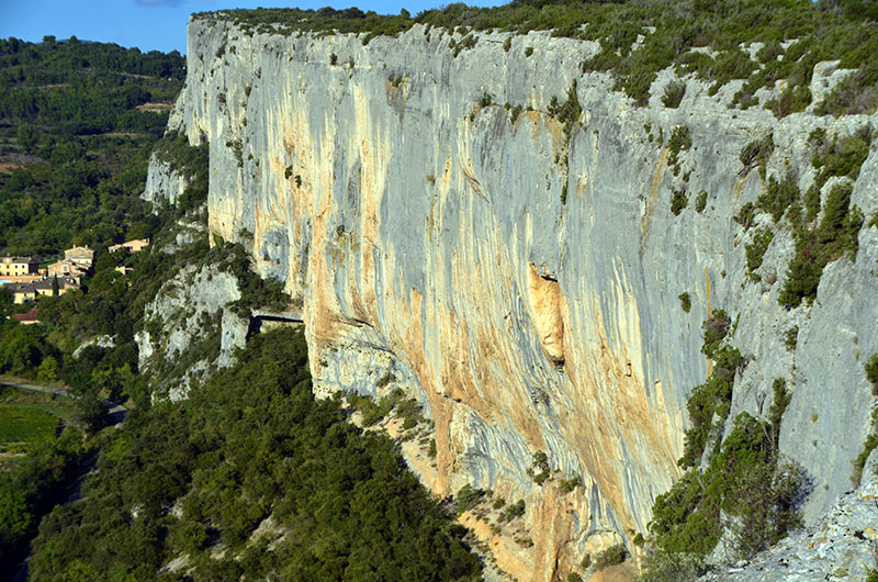
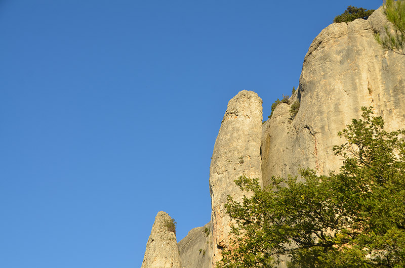
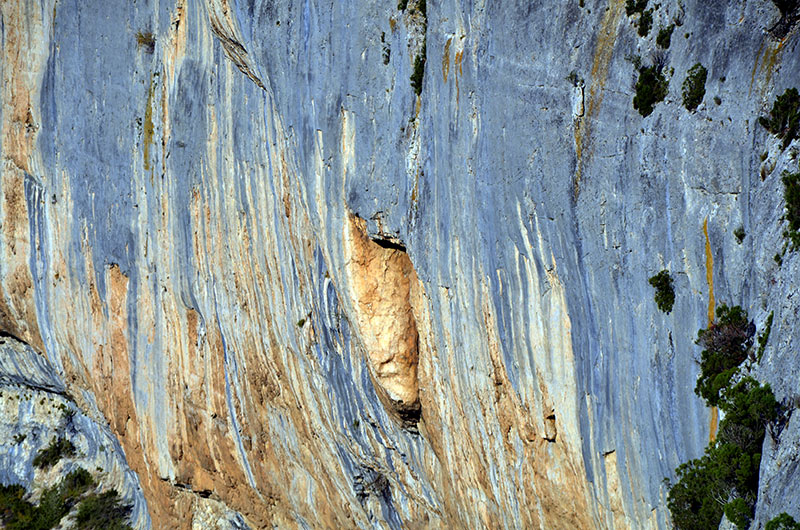
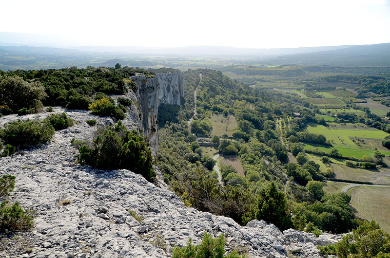
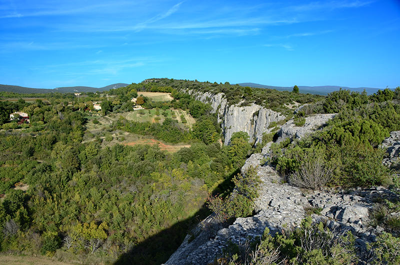
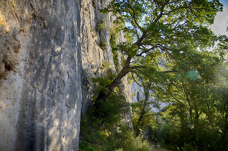
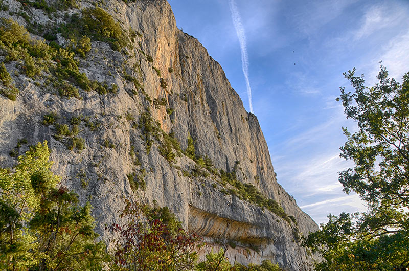
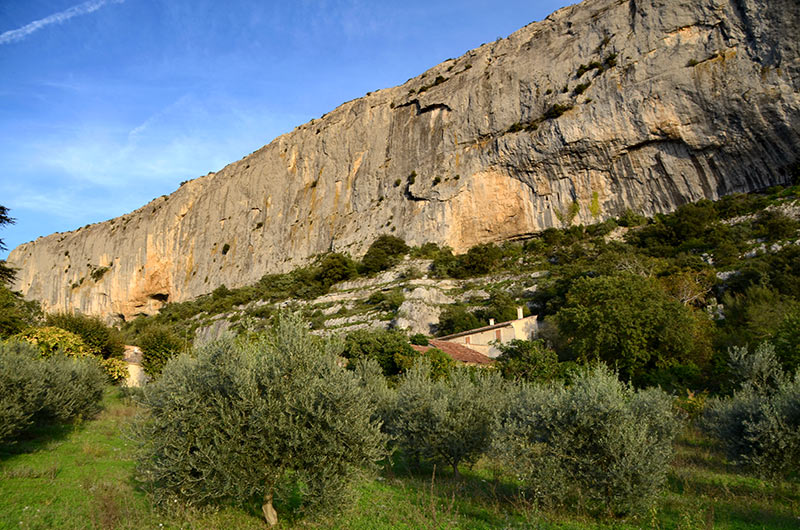
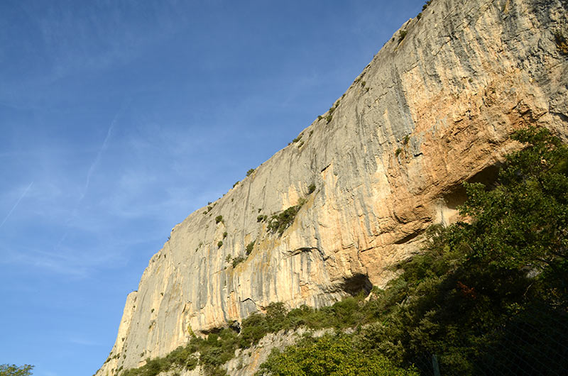
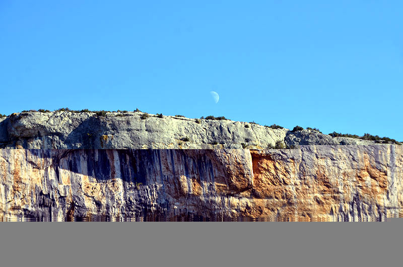
The most striking element of relief of the municipality is the Cliff of the Madeleine which rises to nearly 100 meters high. There are other cliffs in the town along the wide valley of Lioux. Grand Adrech (890 m) (876 m), Chante Coucou (769 m)
Photo gallery 2

The cliff of the Madeleine in Lioux, 7 km long and a peak height of 80 meters, is a fault oriented NE-SW.
The cantons of Bonnieux , Apt , Cadenet , Cavaillon and Pertuis are classified area Ib (low risk). All other cantons in the Vaucluse department, including the Isle-sur-la-Sorgue which the town belongs, are classified in zone I was (very low risk). This corresponds to a seismicity zoning does exceptionally resulting in the destruction of buildings 2
Nearby villages : Murs 7 km , Roussillon8 km ,St Saturnin les Apt11 km. Joucas 6 km Gargas8 km, Goult 11 kmMéthamis 11 km Villars 14 km Gordes 12 km Saint-Pantaléon 12 km Lacoste 13 km Apt 14 km Bonnieux 21 kmVilles-sur-Auzon15 km