
le Fort de Buoux Luberon, Photos,video,Virtual tour 360°
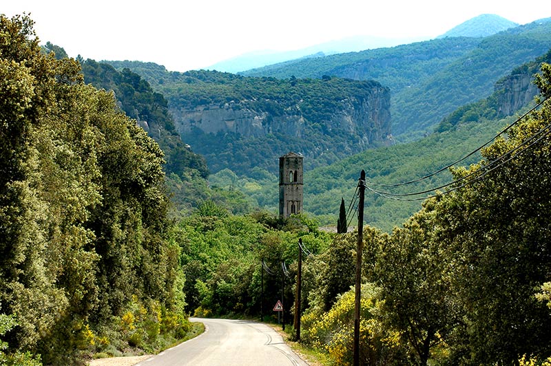
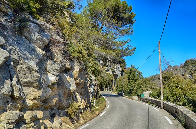
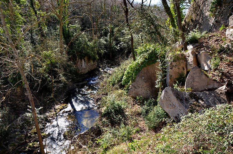
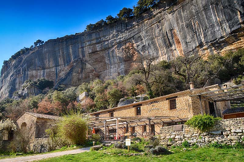
Galerie photos 1 : Vallon de l'Aigrebrun les falaises de Buoux et l'auberge des Seguins
Le Vaucluse, Natural and historical place :the cliffs of Buoux Buoux Fort, Lourmarin, Luberon
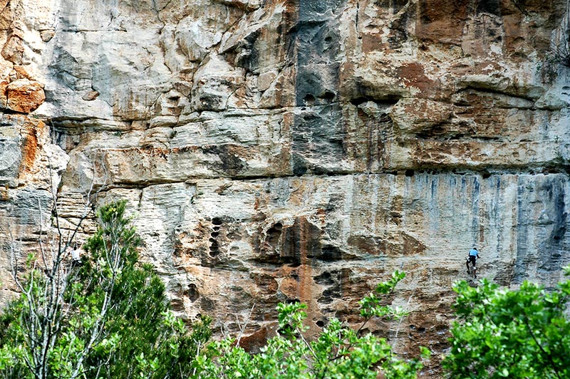
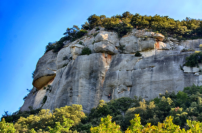
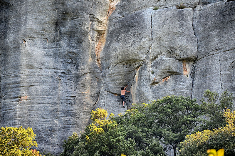
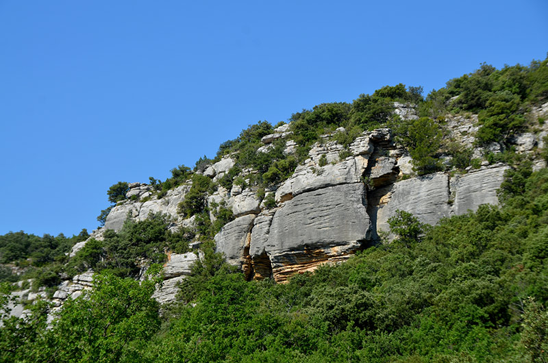
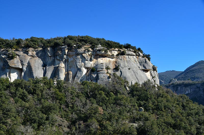
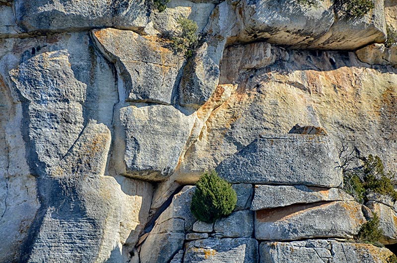
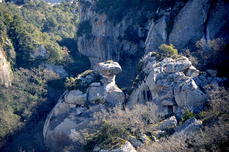
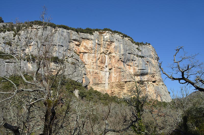
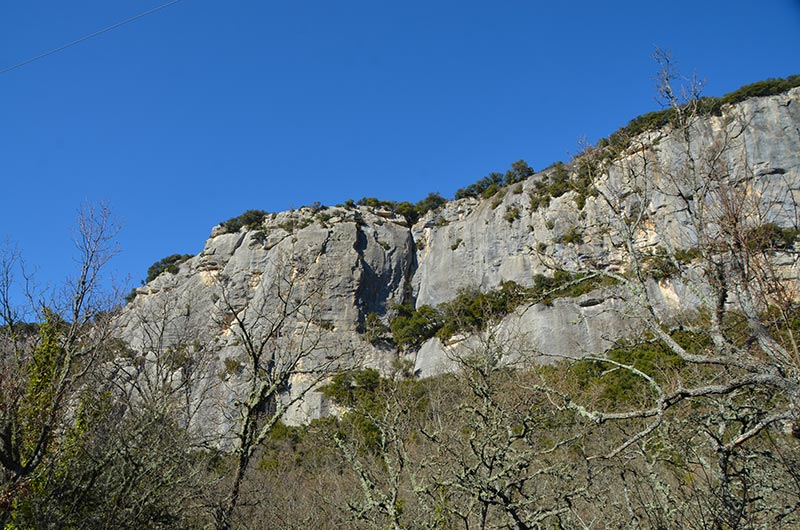
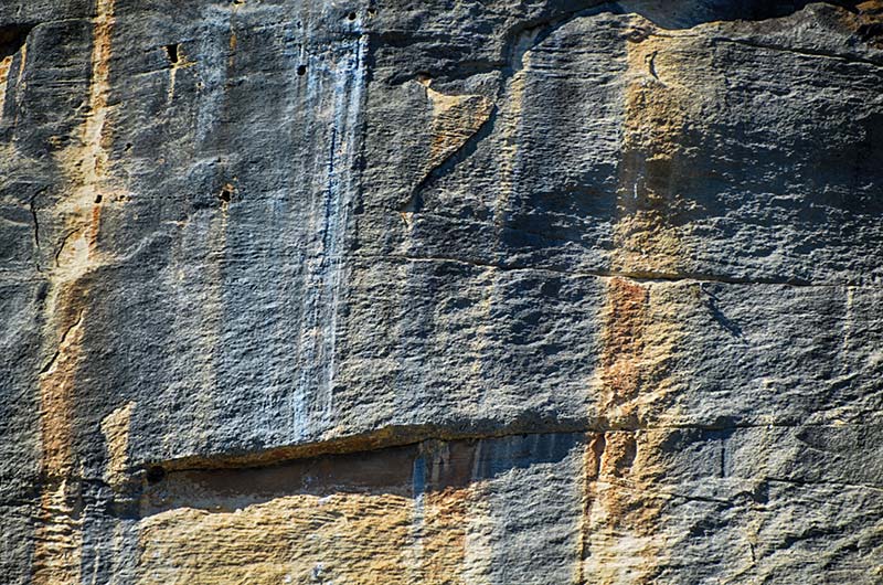
Buoux is best known for its cliffs with many climbing routes: these are made of sandstone burdigalienne, Miocene (-25 to -12,000,000 years) and served as a refuge for man since prehistoric times .
The Aquamarine Brown twists in a cove at the foot of cliffs Buoux, well known to climbers from around the world.
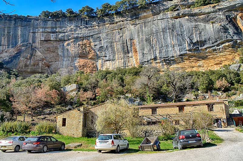
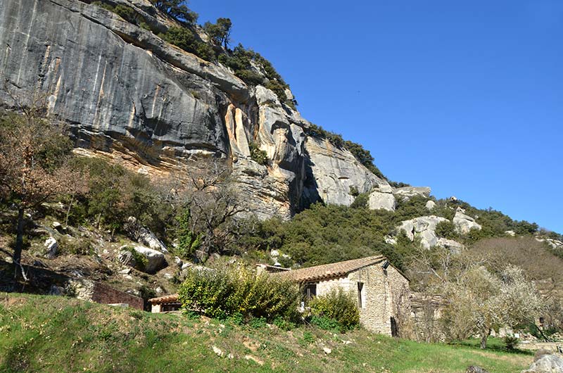
The territory of the municipality is located in the heart of the Luberon massif that rises to 1,124 meters above sea level and is a barrier natural between the Durance valley and the Calavon. It is "split" by the Aiguebrun valley, not far from the Lourmarin valley. The latter fault of tectonic origin, connects the valley to Buoux Bonnieux west and south Lourmarin.
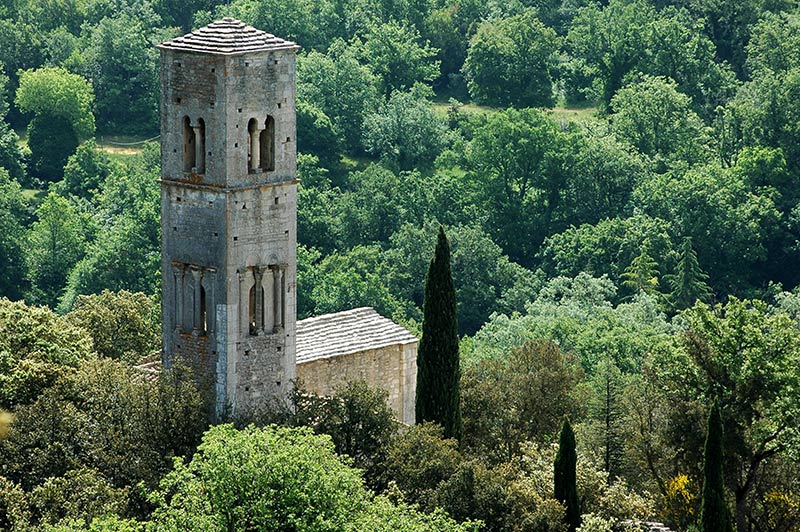
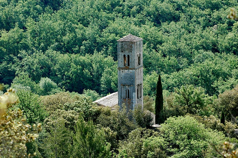
Galerie photos2 du Fort de Buoux

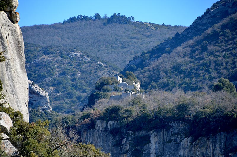
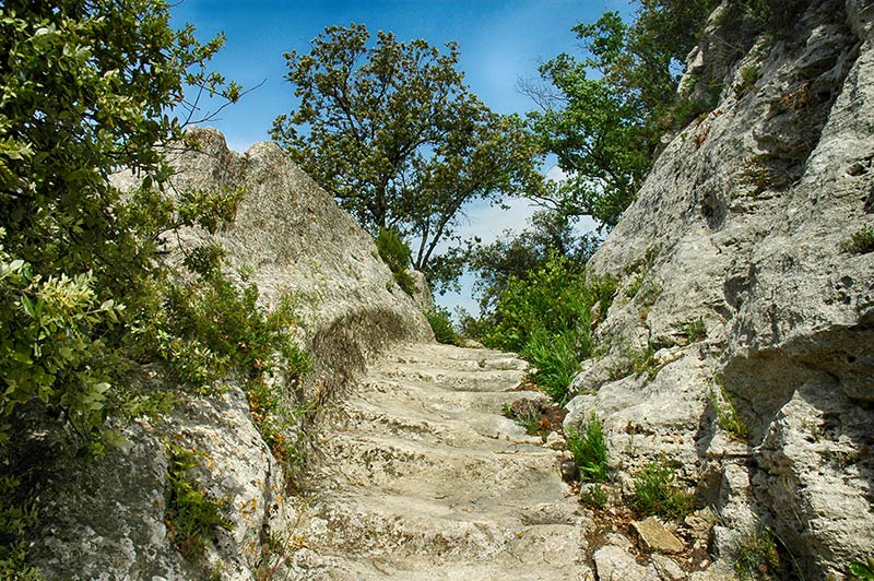
The Buoux Fort overlooks the valley of Aiguebrun, located on the Luberon in Provence
In the hollow of the Vallon de l'Aiguebrun, overlapping centuries of life:
The Balm Peyrards where there lived some sixty thousand years the Man Mousterian
Chaos cultural place of the Bronze Age, over the Claparèdes (Neolithic), the Oppidium Protohistory;
the cliffs and buried the village of Saint-Germain (primitive village)
C ' is on the isolated base of the Oppidium that has developed a strong position, strategic defense, since the Combe de Lourmarin up Sivergues protective of Apt Valley.
Visiting the Fort is an important témoiniage of medieval military architecture:
the Baume du Fort, the path of Protohistoire; Occupied since Prehistory and Early History in the rocky spur strong support has long kept his military vocation.
Located at the crossroads of two main lines of communication through the Luberon and part of a fortified strategic package covering sensitive access the Luberon, the huge sandstone block is chosen by early man as shelter and point of defense. the place was a oppidum from the late Neolithic and during the Protohistory. In the Middle Ages, it becomes the "castrum BiOLiS". The already fortified place is inhabited. where the rock does not bring its natural protection, the walls are built. Fort was an almost insurmountable obstacle to any attempt at invasion the fort was to the sixteenth century, a vital defense for the region. Become a refuge for Huguenots all was dismantled by order of Louis XIV around 1660. Three defensive walls remain, with a Romanesque church, cave habitats, buried houses, silos carved into the rock, cisterns, a dungeon, probably of original proto and a private staircase.
From the southeast tip of the rocky outcrop we discover one of the best views in the region, the vast Claparèdes, through the plains of Comtat and the valley Rhone, to the mountains of Lure and Ventoux.
Buoux is at the crossroads of two paths millennia passage that went from Aix-en-Provence in Apt until the road of Combe de Lourmarin obtain its current track: the valley of Aiguebrun, was a point obligatory passage to reach Lourmarin once by the Lourmarin valley; ;

le chemin des Salyens (nom sans aucun doute hérité de la fédération de peuples gaulois qui dominait le pays d'Aix avant la conquête romaine) : ce chemin difficile mène de Vaugines, au sud, jusqu'au fort de Buoux au nord en reliant successivement le vallon de Vaunière (versant sud), la crète et le vallon de Serres (versant nord).