Vaucluse History: Mérindol Luberon village "Vaudois"
Population : 1966 Inhabitants , Altitudes: 168 m mini. 100 m — maxi. 620 m
Situé sur la Dep 973 à l'Est de Cavaillon 18 km et Lauris 11km
Nearby villages: Lauris (11 km), Lourmarin (13,5 km) Ménerbes 19 km Oppède le Vieux 19 km Lacoste 25 km Maubec 12 km Goult 28 km
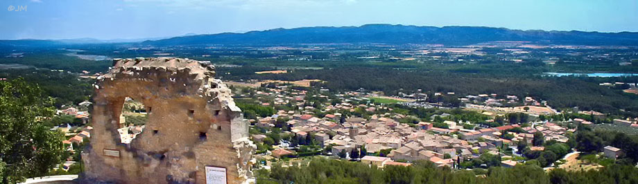
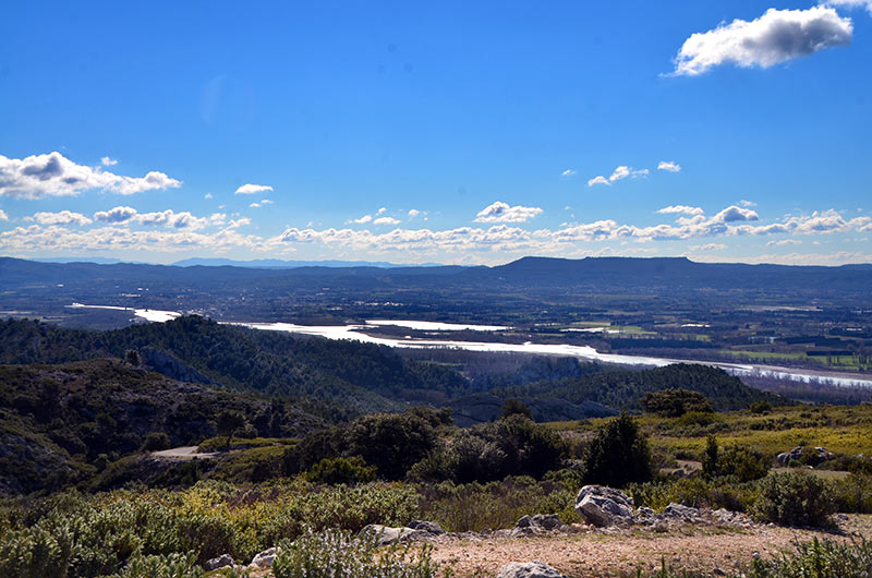
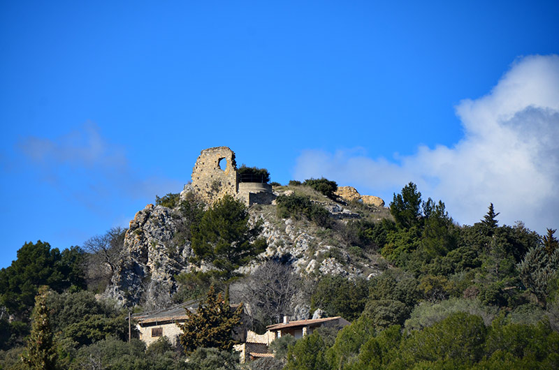
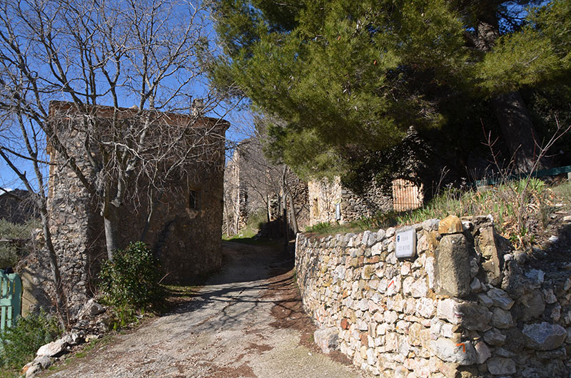
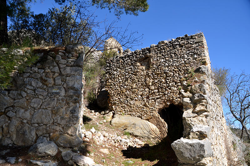
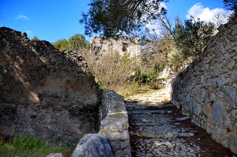
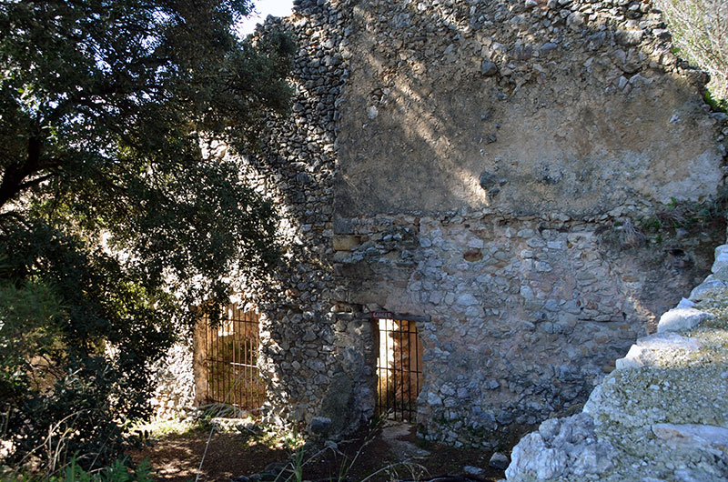
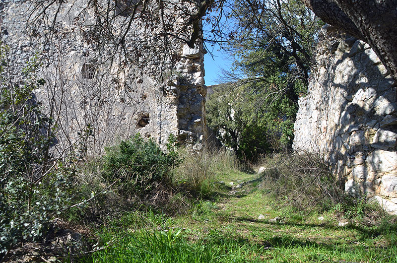
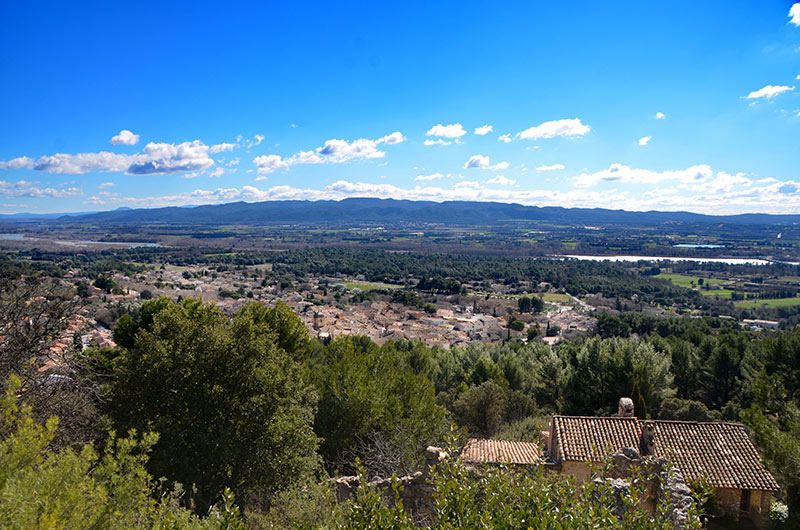
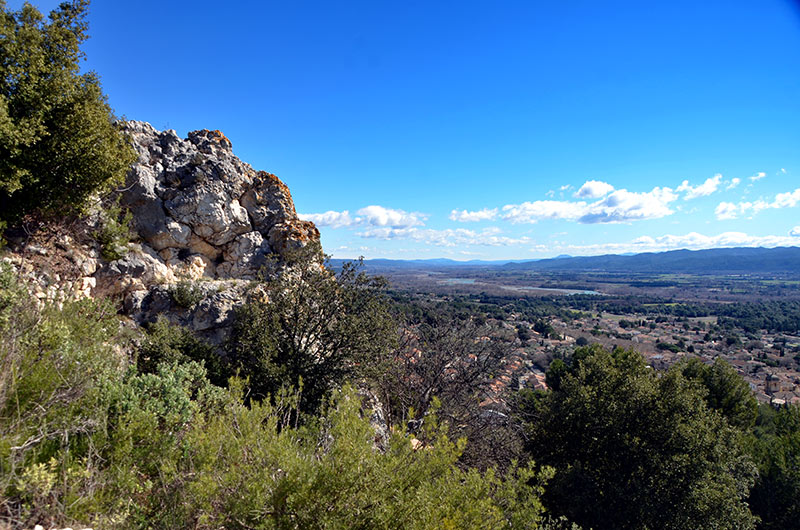
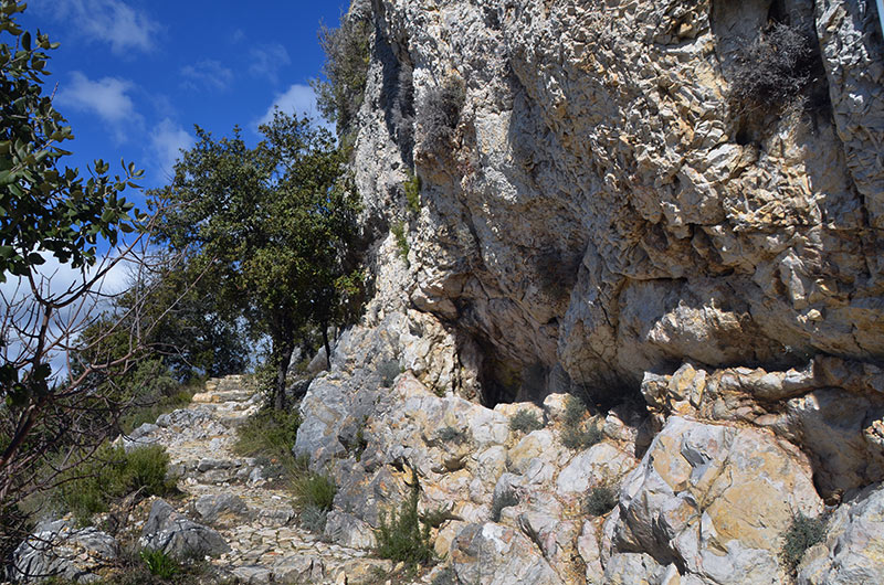
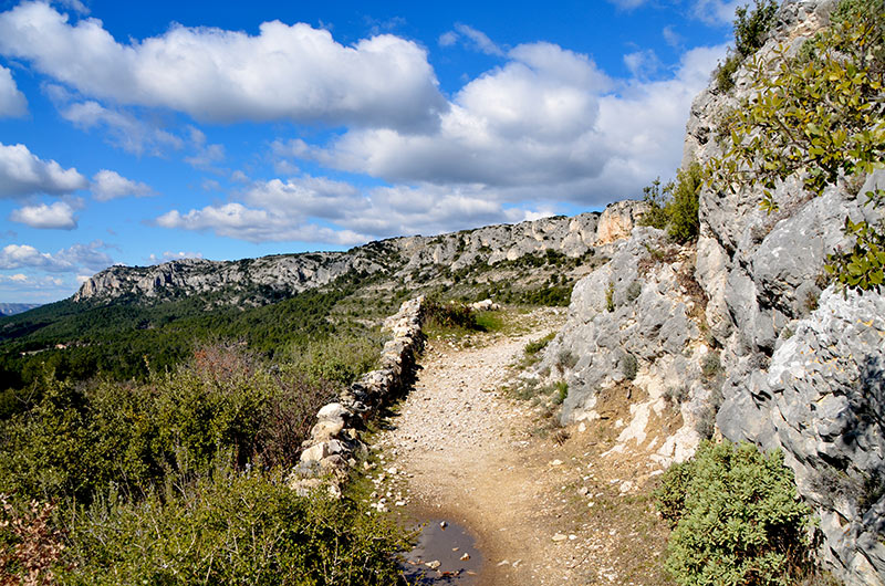
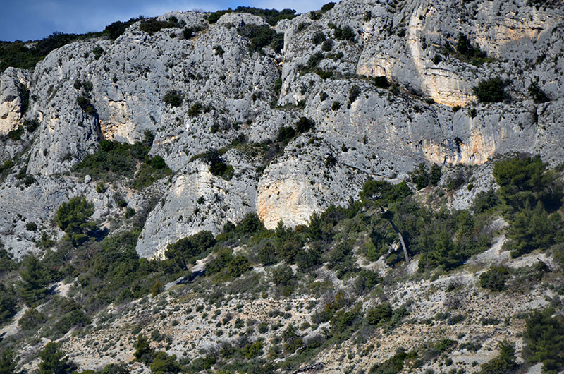
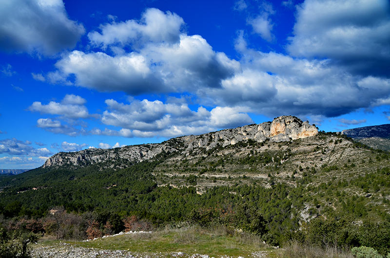
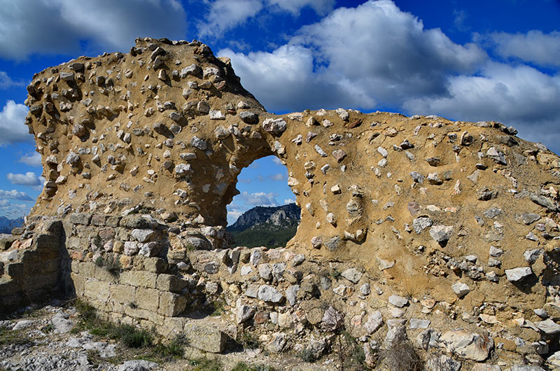
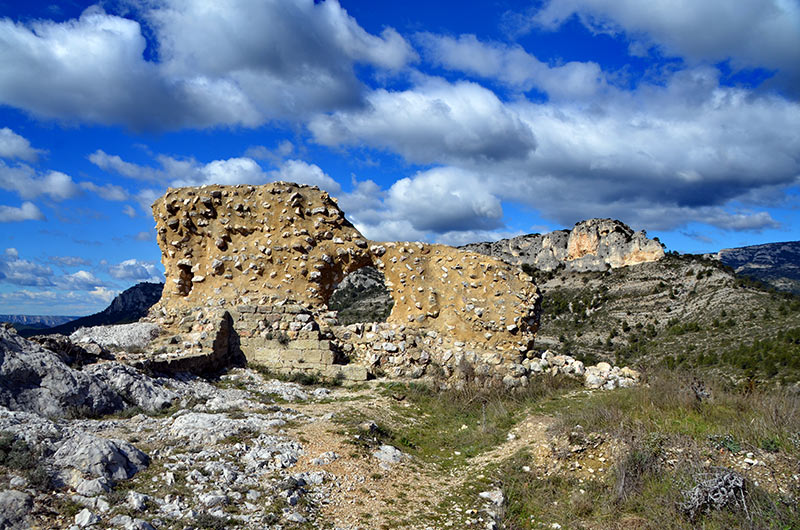
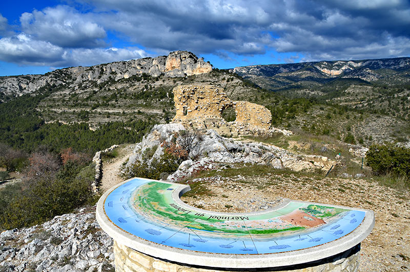
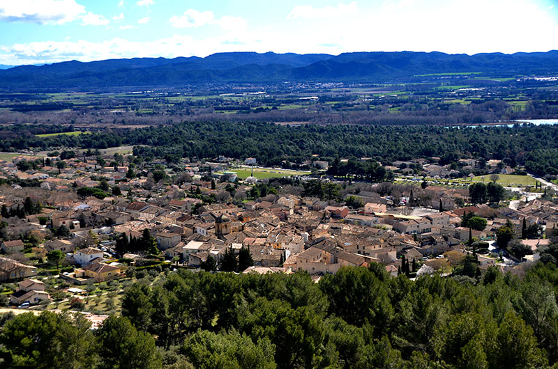
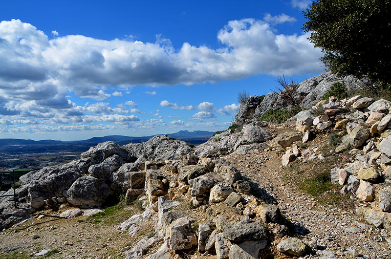
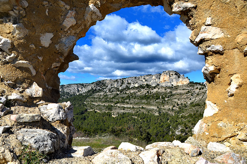
Mérindol is located on the southern slopes of the Luberon , overlooking the Durance valley the border with the department of Bouches du Rhône village was destroyed in 1545, villagers from the Waldensian escaped the massacre by hiding in the Luberon.
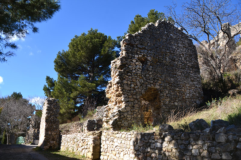
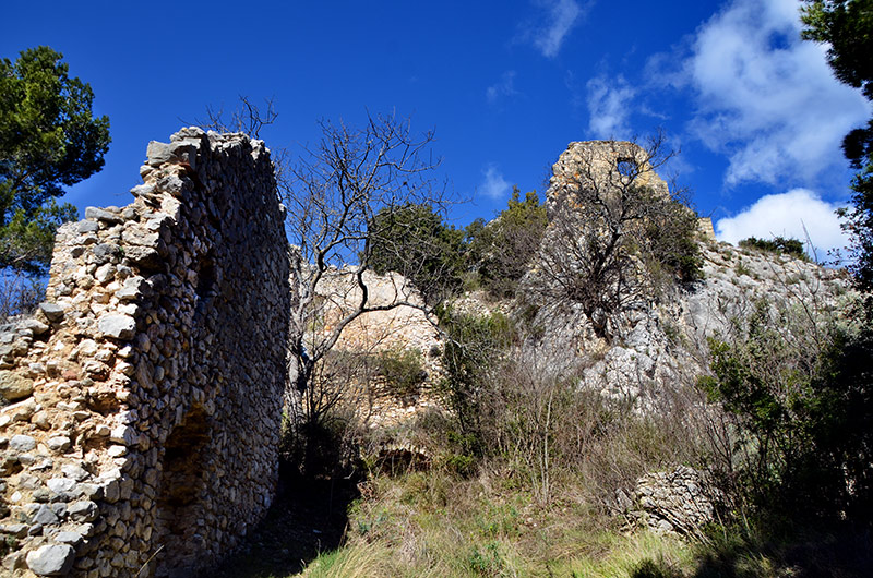
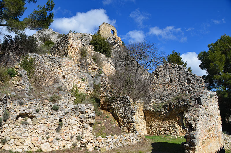
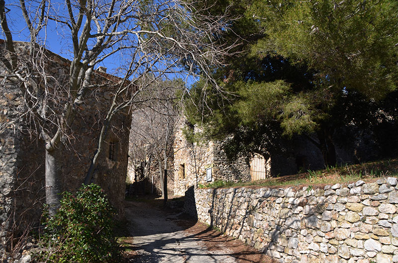
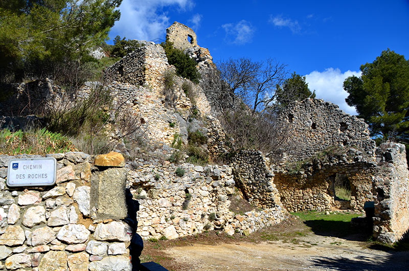
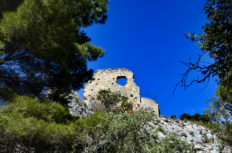
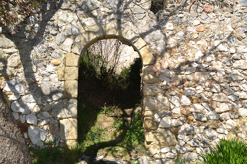
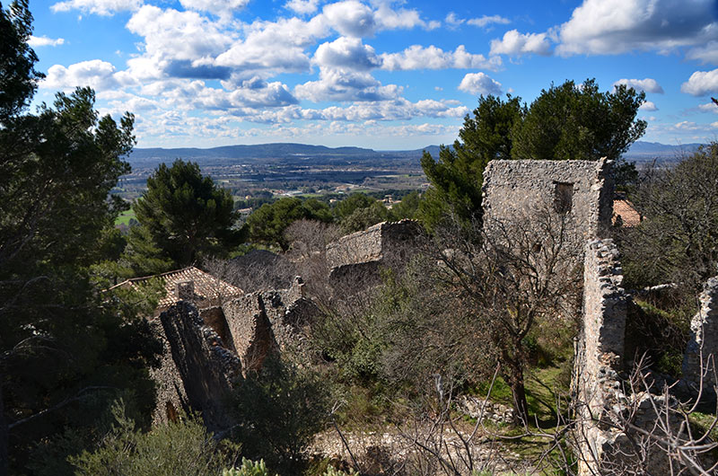
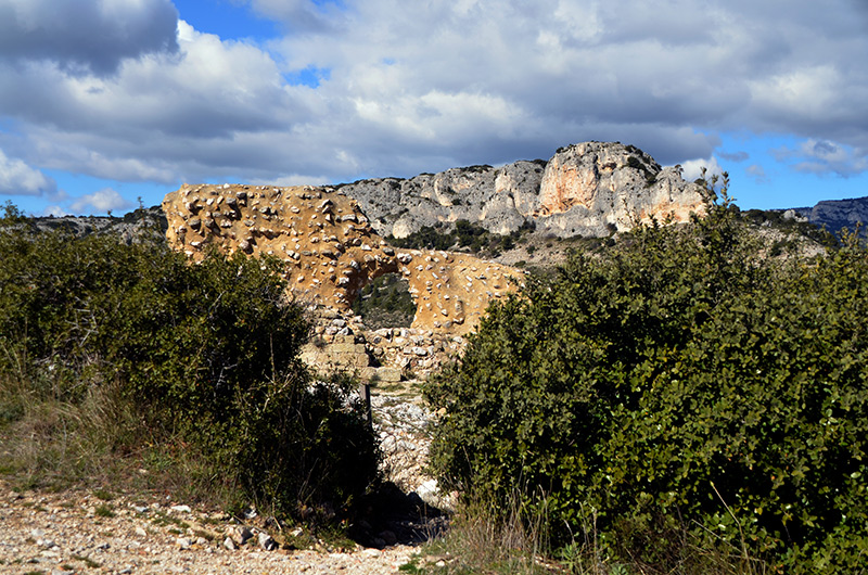
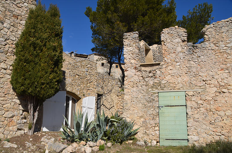
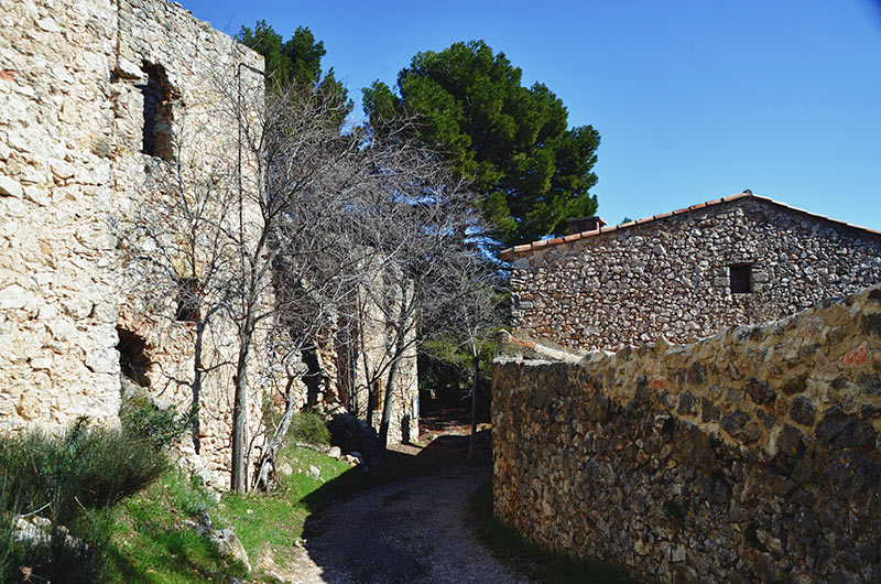
The village was high abandoned for "Country houses" where the actual village is located. The old castle walls remain only two sides, and Vaudois memorial.
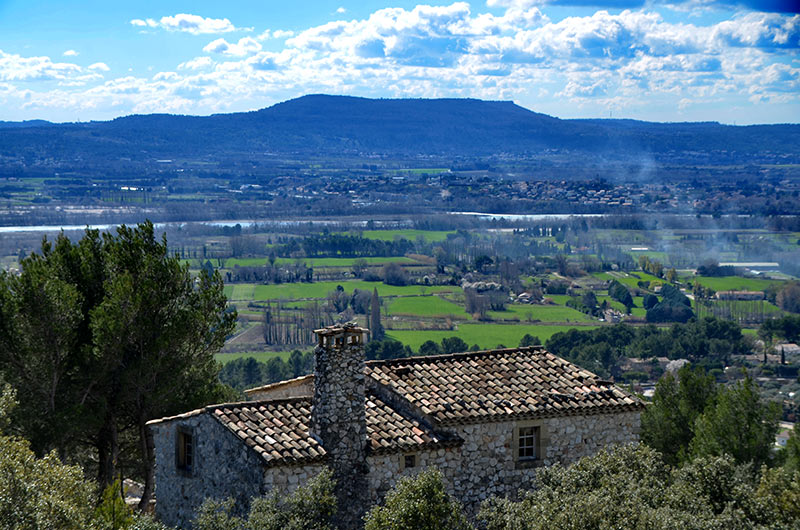
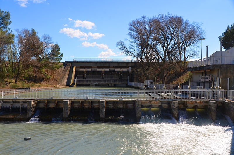
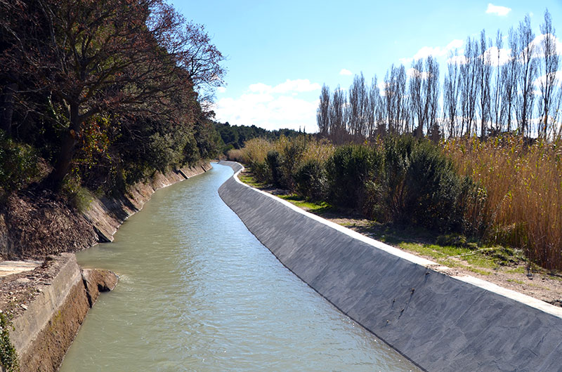
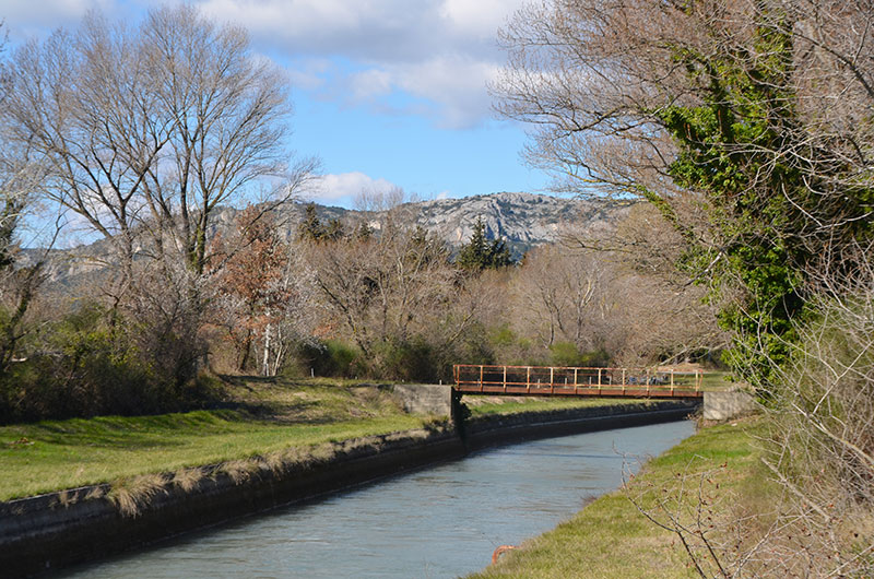
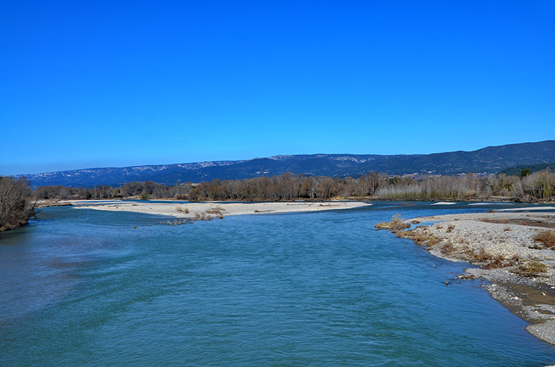
In the village the church of St. Anne of the eighteenth century, has a bell tower at the "buckwheat bulb" unique in the region, The plain of Mérindol is irrigated by the canal and the Durance is a market garden plain, made of Vergers.on find a bird observatory on the edge of the Durance
To see:
Ruins of the old castrum with Vaudois Memorial. Church of St. Anne with its onion dome buckwheat.
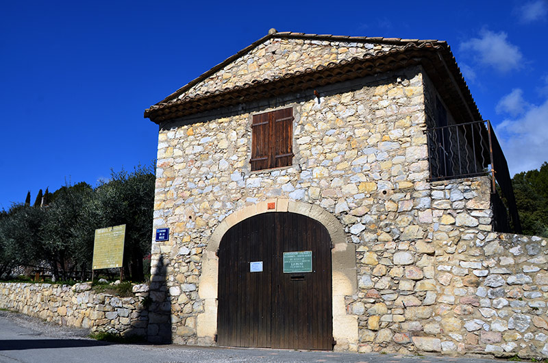
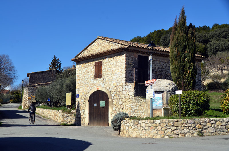
Oil mill. Sighting along Durance
Hobbies:
walking and cycling tourism Hiking, mountain biking. Tennis, fishing, walking, climbing. Cinema theater.
Lodging:
Vacation Rentals. Guest houses