Galerie photos plateau des Claparèdes ,Luberon-Vaucluse
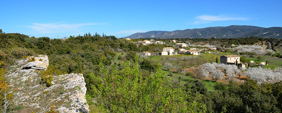
The Plateau Claparedes, Massif du Luberon
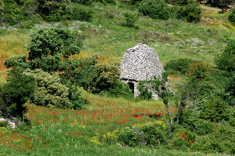
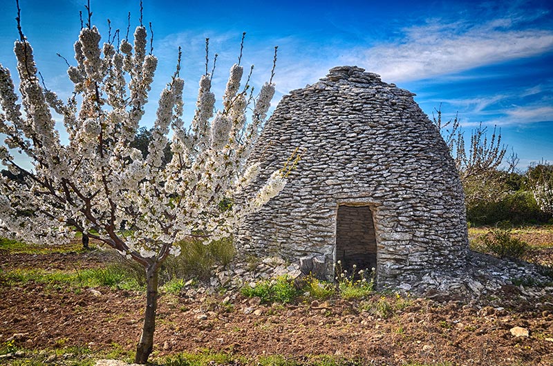
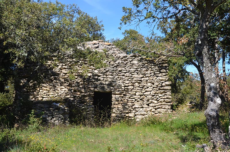
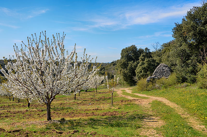
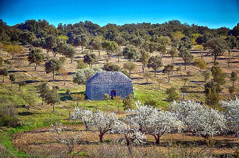
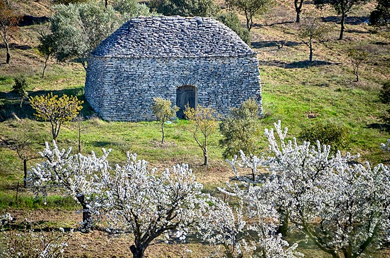
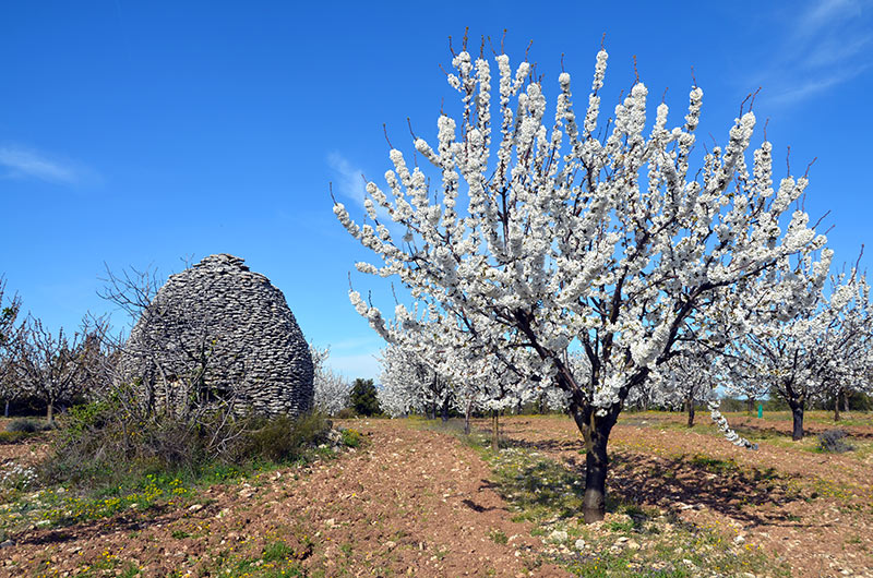
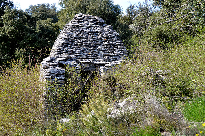
Calavon the stream is flanked on the right bank of the Monts de Vaucluse and its two left Luberon . at the foot of the Grand Luberon, erosion has reached the Claparèdes. the set consists of Cretaceous limestone. then layers Eocene and Oligocene. covered with a top plate composed of limestone Miocene sandstone.The latter stratum, rich in fossils, was deeply cut by the Aiguebrun valley. This sandstone, easily fragmentable, has always been a much sought construction material. She provided the stones to build many ancient monuments Apt and almost all of the bories were built with these slate. (Dry flat stones)
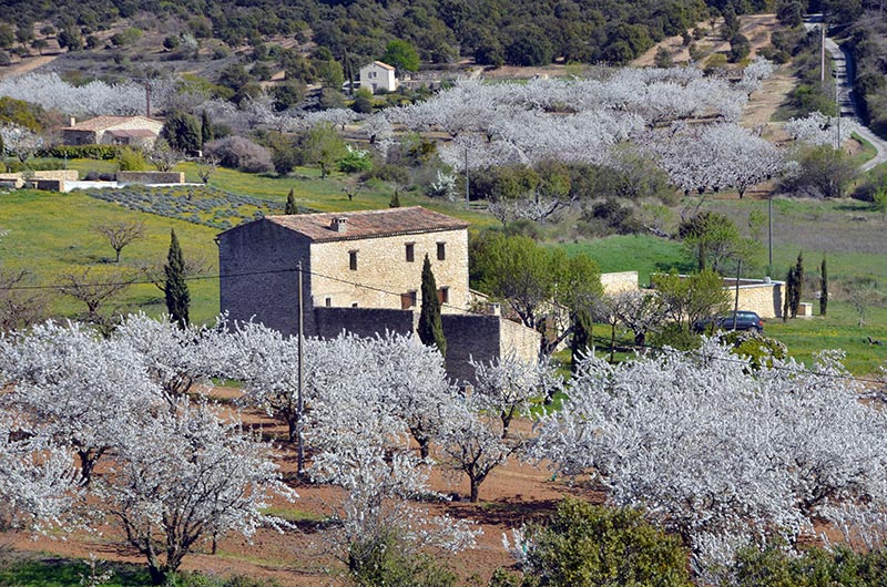
The plateau reaches a height of 821 meters at a place called the Ourillon, these meadows have turned into a huge conglomerate of slate, where stand hundreds of Bories or dry stone huts. It stretches 10 kilometers long and 2-3 kilometers wide.
The first to report it in the seventeenth century, is the historian of Apt, Joseph-François REMERVILLE "All the Claparèdes is covered in hutches which are the remains of houses and you can see that there is very little vacuum between these hutches Two hundred years later, the pre-historian Frederic Lazard, who explored all the rating plate: "We meet a large number of sources and a quantity of rock shelters. The Neolithic stations we discovered there prove that our ancestors were able to largely benefit from this excellent location. "
The plateau in the first decade of the twentieth century The soil condition, forestry and agricultural Claparèdes at the turn of the twentieth century is described by the Provencal historian Fernand Sauve in his study of the Apt style area
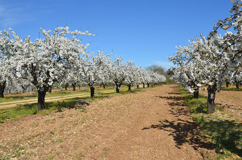
He notes that the plain was covered with a layer of topsoil thin, not exceeding 50 centimeters, from the disintegration of the upper rock strata and decomposition of plants that grew there. The plateau, says he was once covered with wood, which he survived more than a few shreds. Since deforestation, the thin layer of arable land had been subject to a continuous production and no longer produced, thus some meager cereals as fertilizer, costly transportation, made him almost default.The owners, he notes, gradually abandoned culture, condemning the plains to a mere barren pasture unless it is reconvertisse in truffle growing. Fernand Sauve attributes the formation of most hutches littering the Claparèdes to the conversion of the old wooded plain to agriculture, farmers piling at points sacrificed the loose stones of the plateau crust. He attributes to the same farmers, eager to strike a shelter against the weather, the many dry stone huts, raised with materials collected on site. An agricultural economy geared These special conditions require an adaptation of agriculture. Besides the fields of lavender and lavender, there are only a few cherry orchards and almond trees and vines.
Les Communes du plateau des Claparèdes : Castellet , Auribeau ,Saignon ,Apt ,Sivergues, Buoux , Bonnieux...........................