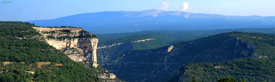
Les Gorges de la Nesque,

Le Vaucluse Natural site,Vaucluse,Provence Tourism
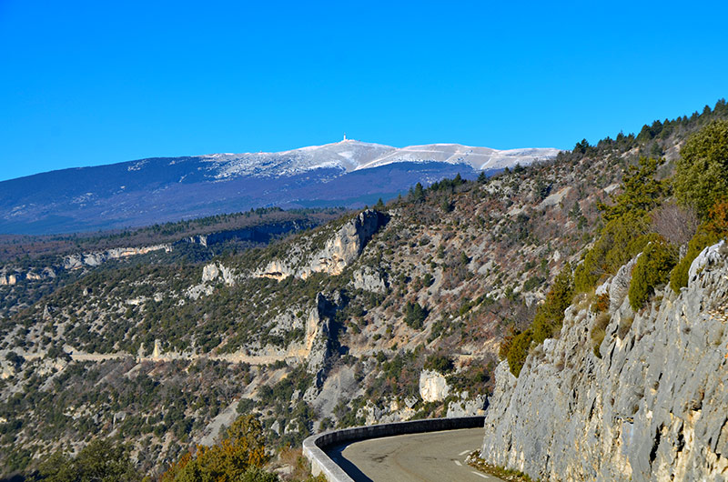
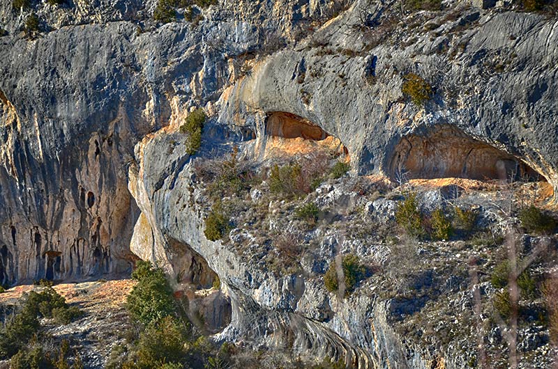
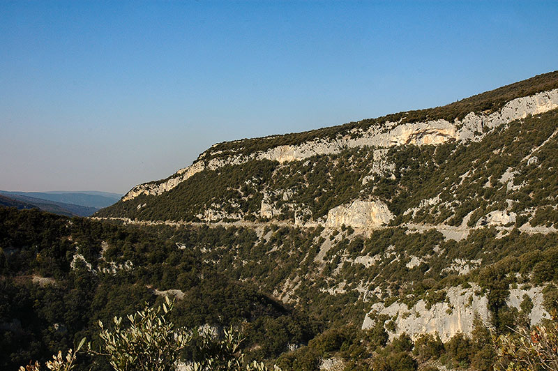
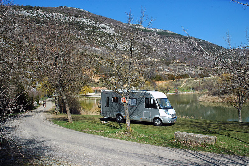
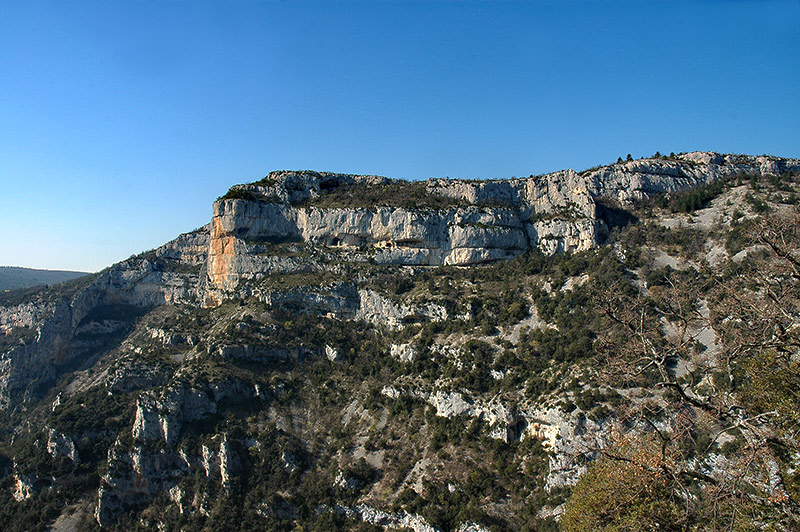
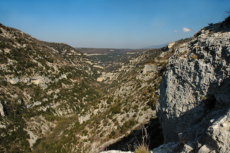
The gorge starts south of Monieux , the lake and at an altitude of 625 meters, and descend on the town in Méthamis and city on Auzon at an altitude of about 270 meters.
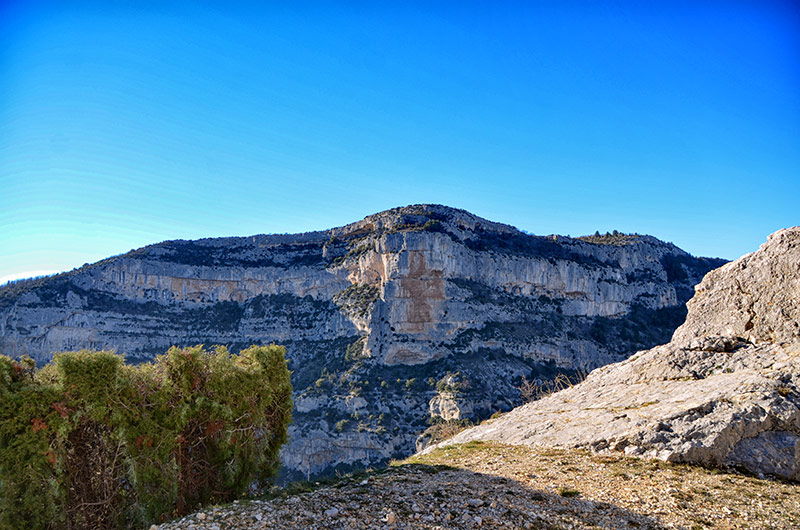
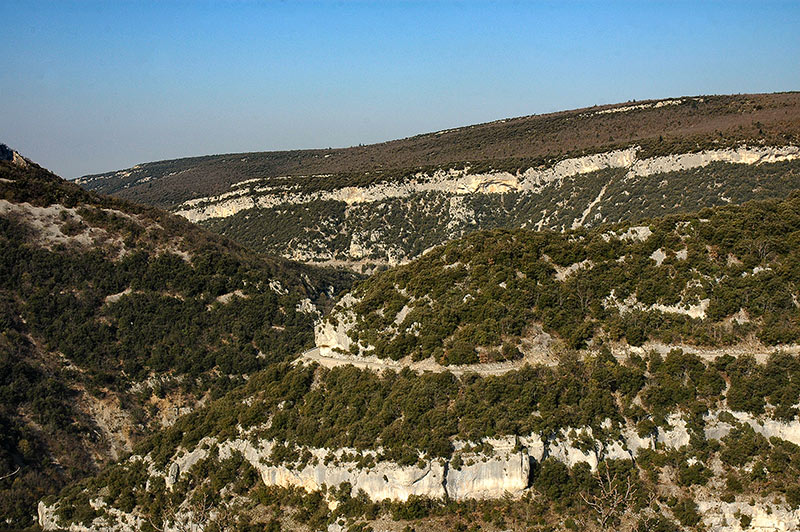
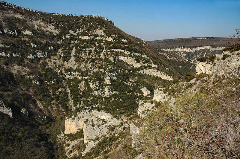
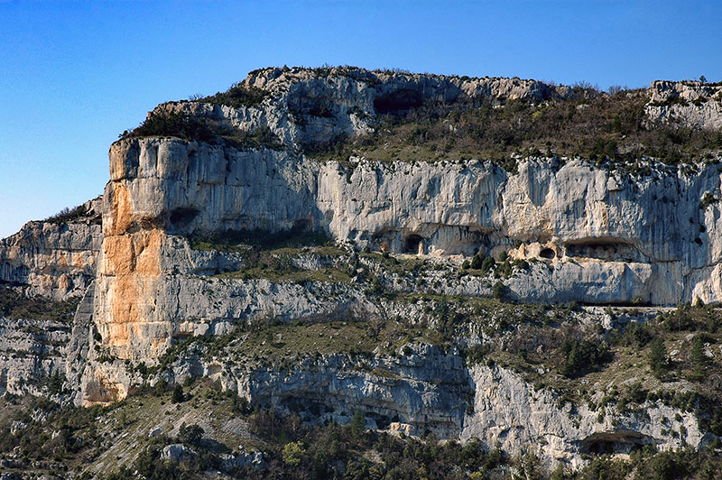
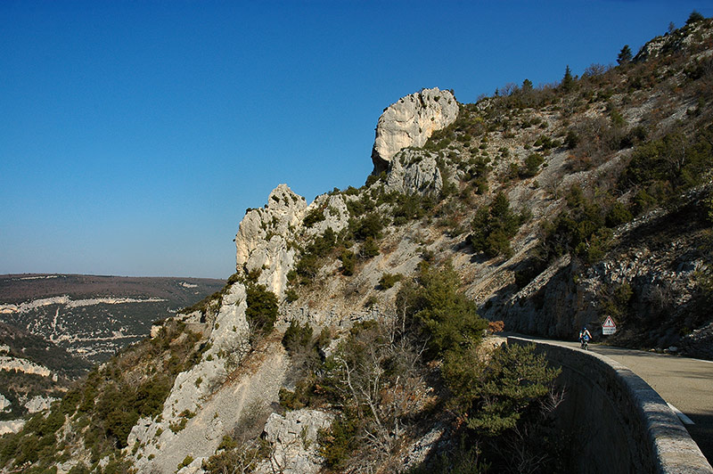
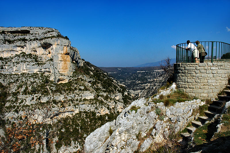
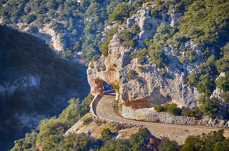
The secondary road 942 allows the parcourirent the heights with multiple views including the "lookout rock of Wax" (734 m). These gorges were sung by the Mistral félibre.
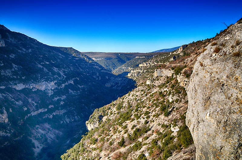
the road is a classic for cyclists and tourists who appreciate it for its beauty and its preserved nature.
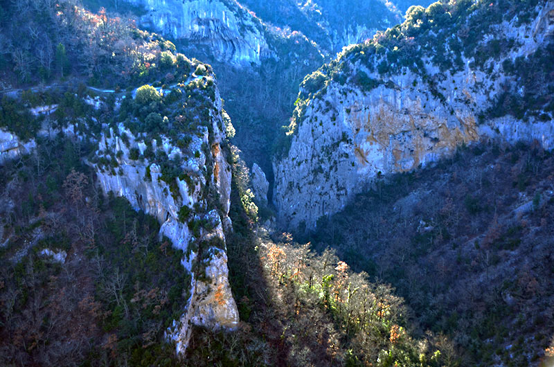
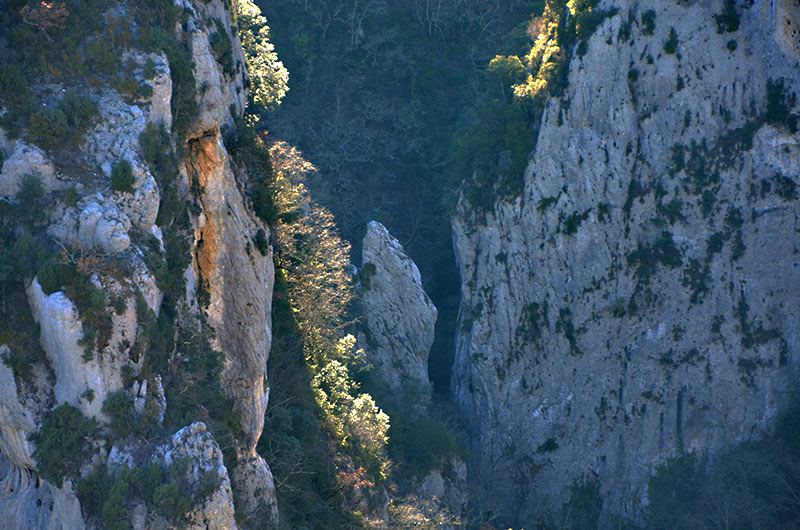
The hiking trail GR9 crosses the gorge at the height of the Saint-Michel chapel. several itineraries are possible
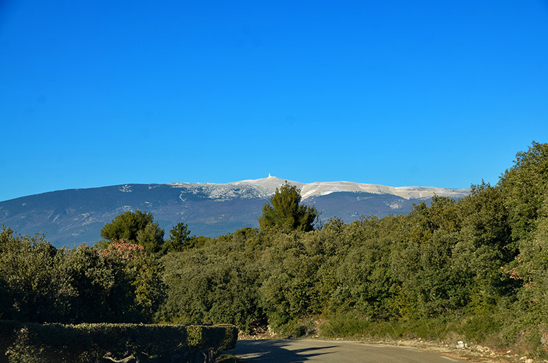
Nesque is a small river that rises at Aurel on the eastern flank of Mont Ventoux . After a short journey through the mountains of Vaucluse , it flows into the river Sorgue shortly before Avignon . The name derives from Annesca Nesque, Roman deity represented as a water carrier woman and ears of wheat, symbol of life, wealth and abundance
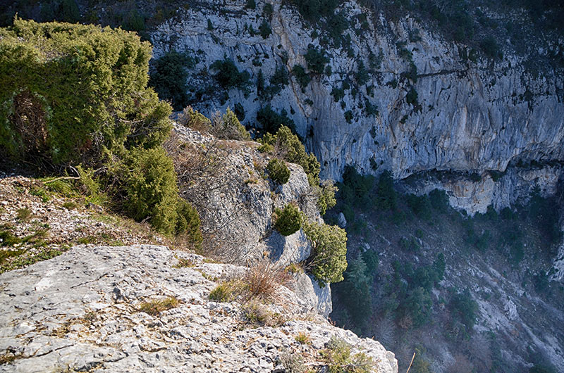
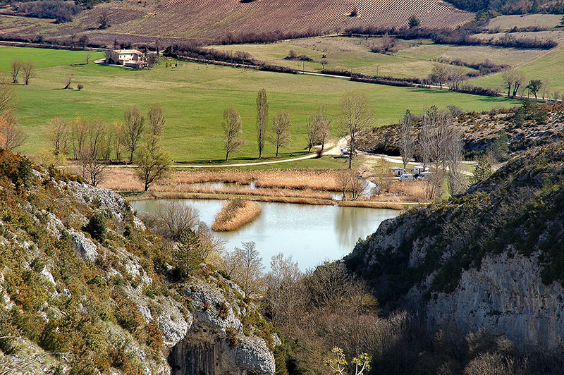
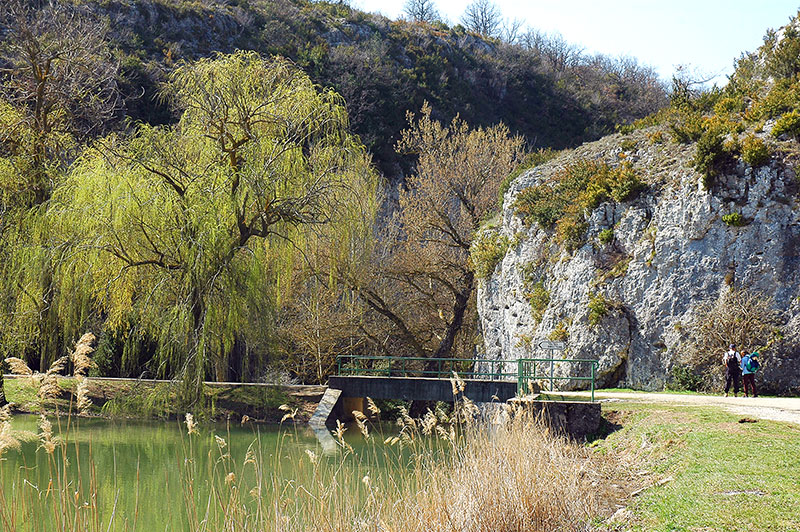
. To access the Saint-Michel chapel, you can from the lake Bourguet southwest of Monieux. The trail passes through the gorge before climbing to the "Font of John" where to direct you to "Peisse". From here the trail "chapel direction" is committed to cliff dive to the bottom of the gorge.
The last part of the trail is very steep and can be slippery in rain. Beware if you have dizziness, because there are many to dizzying peaks. At the bottom of the gorge, the chapel is on the left. Going back along the same path it takes 3 hours 30 minutes for the go / return. Another trail starts from one of the lookouts along the D942 with a steep descent.